Summary
The mine has been in operation since 1985 and has produced over 4 million ounces of gold. The mine is owned by Equinox Gold Corporation, a Canadian-based mining company, and employs over 200 people. In addition to gold, the mine also produces silver, copper, and zinc. Visitors to the Mesquite Mine can take a tour of the facility and learn about the mining process, as well as the history of the mine and its impact on the local community.
One of the unique things to see at the Mesquite Mine is the open pit mine itself, which is over 1,000 feet deep and covers an area of over 1,200 acres. Visitors can also see the various stages of the mining process, from drilling and blasting to crushing and processing the ore. The mine also has an on-site laboratory for analyzing samples and testing equipment. The Mesquite Mine is also located in a scenic area of California, with opportunities for hiking and other outdoor activities in nearby parks and wildlife refuges. Overall, the Mesquite Mine offers a fascinating look at the mining industry and its impact on the environment and local communities.

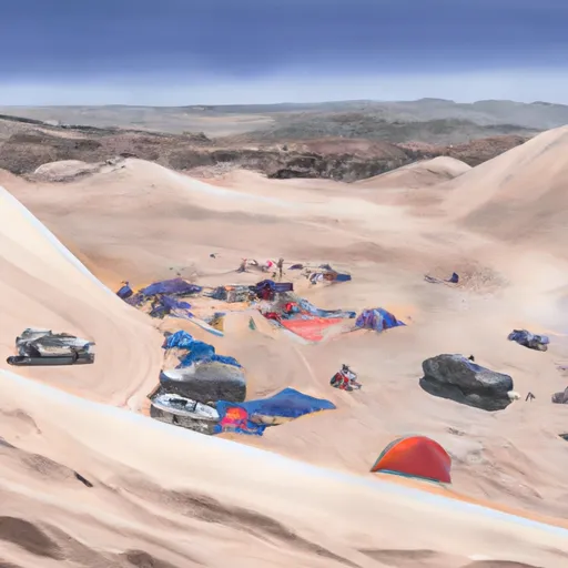 Washes Dispersed - Imperial Sand Dunes OHV
 The Washes
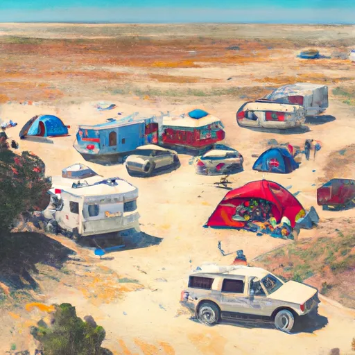 Glamis Flats
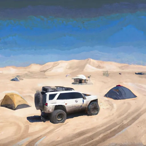 Glamis Flats - Imperial Sand Dunes OHV
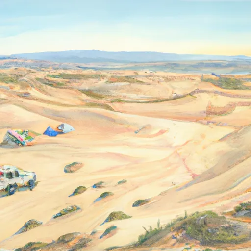 Palo Verde Flats Dispersed - Imperial Sand Dunes OHV
 Garbage Flats