Summary
It was constructed over the Alamo River and the mudflats of the Salton Sea, which made transportation difficult. The Plank Road was a crucial link for the agricultural industry in the Imperial Valley, allowing for faster and more efficient transportation of crops. Today, portions of the Plank Road can still be seen in the Salton Sea area, including some wooden planks and rusted metal remnants. Visitors can explore the historic road and learn about its significance to the area's development. In addition, the Salton Sea offers a unique ecosystem with a variety of bird species, including the American white pelican and the brown pelican. The area also has geothermal features, such as hot springs and mud pots, that are worth exploring.
The Plank Road and the surrounding Salton Sea area offer a unique glimpse into California's history and natural wonders. Visitors can experience the remnants of the historic road while enjoying the beauty of the Salton Sea's ecosystem. The area also offers recreational opportunities, such as fishing and boating on the Salton Sea. Additionally, the local communities have developed cultural events and festivals that celebrate the area's heritage, such as the annual Lake Elsinore Car and Air Show. Overall, the Plank Road and the Salton Sea area provide a fascinating destination for history buffs, nature enthusiasts, and anyone interested in exploring California's diverse landscape.
Hourly Weather Forecast
Area Campgrounds
| Location | Reservations | Toilets |
|---|---|---|
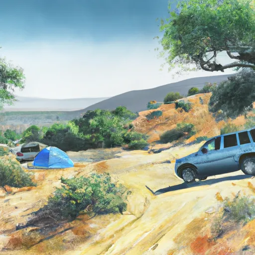 Grays Well OHV
|
||
 Midway  OHV
|
||
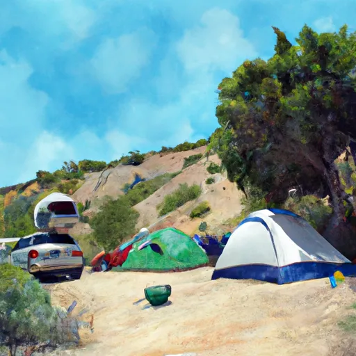 Grays Well Camping
|
||
 Dune Buggy Flats
|
||
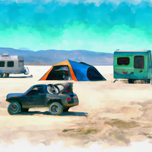 Dune Buggy Contact Statio
|
||
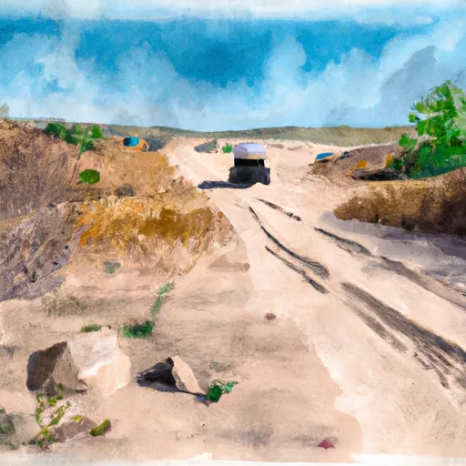 Dunebuggy Flats OHV
|
