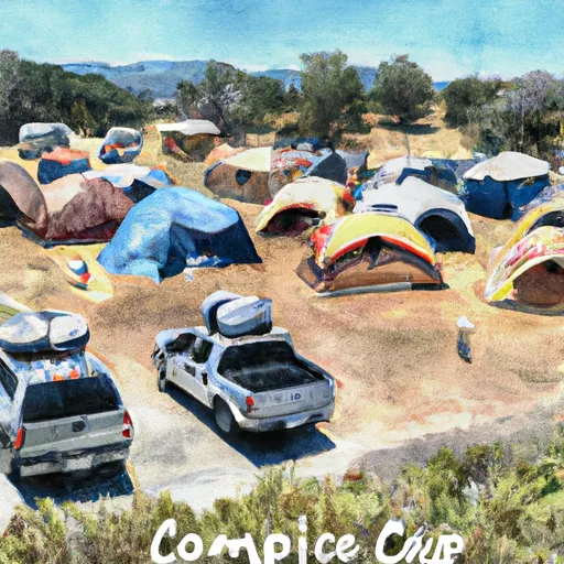
SPRING BRANCH

Points Of Interest Amenities Weather
November 23, 2024
Flood Advisory
National Weather Service Until 2024-11-23T21:15:00-08:00
* WHAT...Flooding caused by excessive rainfall from thunderstorms is expected. * WHERE...A portion of northern California for the following counties, Butte, Glenn, Shasta, Tehama, including the Park Fire Burn Scar. * WHEN...Until 915 PM PST. * IMPACTS...Minor flooding in low-lying and poor drainage areas. Water over roadways. * ADDITIONAL DETAILS... - At 319 PM PST, Doppler radar indicates heavy rain due to thunderstorms is forecasted through this evening. Areas of minor flooding are expected this afternoon and evening across the advisory area. - Excessive runoff is possible over burn scars - Some locations that may experience flooding include: Redding, Chico, Paradise, Oroville, Red Bluff, Corning, Shingletown, Palo Cedro, Palermo, Shasta Lake, Anderson, Tehama, Paynes Creek, Gerber-Las Flores, Dairyville, Manton, Vina, Richfield, Inwood and Richardson Springs. - http://www.weather.gov/safety/flood

SUMMARY

The Spring Branch is a tributary to the Cosumnes River that runs through the Sacramento-Lower Cow-Lower Clear watershed in California. The branch is known for its clear and cool waters, which provide habitat for a variety of fish, including rainbow trout and Chinook salmon. Visitors to the area can enjoy fishing, hiking, and wildlife viewing while taking in the breathtaking natural beauty of the surrounding landscape. The Spring Branch area is also home to some rare and threatened species, such as the foothill yellow-legged frog and the western pond turtle, making it a prime destination for nature enthusiasts and wildlife researchers alike.

In addition to its ecological significance, the Spring Branch is also a popular destination for outdoor recreation. Visitors can fish for salmon and trout in the branch's crystal-clear waters, hike the nearby trails, or simply soak up the scenery. The surrounding landscape is dotted with oak woodlands, grassy meadows, and riparian forests, providing a range of habitats for a diverse array of flora and fauna. Whether you're interested in outdoor adventure or simply looking for a peaceful retreat, the Spring Branch is a must-visit destination for anyone traveling to the Sacramento-Lower Cow-Lower Clear watershed.

Weather Forecast

°F

°F

mph

Windspeed

%

Humidity


16-Day Long Term Forecast
       

Get Unparalelled Insights

Explore the Map

Whether you're planning your next ski trip or tracking stream flows for an upcoming rafting expedition, our map offers instant access to essential conditions, forecasts, and trends.

Watershed River Levels

159

Cubic Feet Per Second

4810

Cubic Feet Per Second

3810

Cubic Feet Per Second

168

Cubic Feet Per Second