Summary
This exhibit is located near the entrance of the park and showcases the famous Balanced Rock formation, which is a large sandstone rock balanced precariously on a smaller base rock.
Visitors to the Balanced Rock Wayside Exhibit can enjoy stunning views of the surrounding red rock formations and can learn about the geological and cultural history of the area through interpretive displays and informational plaques. The exhibit also includes a short walking trail that offers a closer look at the Balanced Rock formation.
One unique feature of the Balanced Rock Wayside Exhibit is the opportunity to witness the phenomenon of ice wedging. During the winter months, water seeps into the cracks of the rocks and freezes, causing the rock to break apart. This process can be seen in action at the exhibit, as well as throughout the park.
Another good reason to visit the Balanced Rock Wayside Exhibit is its accessibility. The exhibit is located near the entrance of the park and is easily accessible for visitors with disabilities. Additionally, the short walking trail is suitable for individuals of all fitness levels.
Overall, the Balanced Rock Wayside Exhibit is a must-see attraction for visitors to the Colorado National Monument. With its stunning views, informational displays, and unique geological features, it offers a memorable and educational experience for visitors of all ages.
Hourly Weather Forecast
Area Campgrounds
| Location | Reservations | Toilets |
|---|---|---|
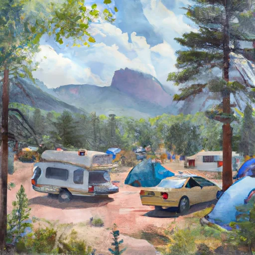 Saddlehorn Campground
|
||
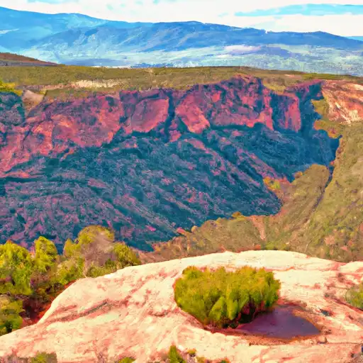 Saddlehorn - Colorado National Monument
|
||
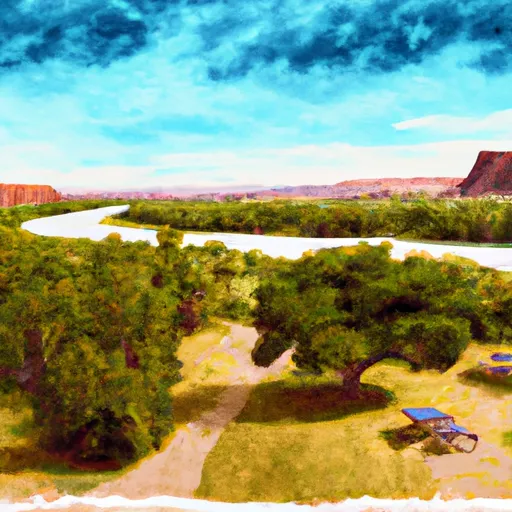 Fruita - Colorado River State Park
|
||
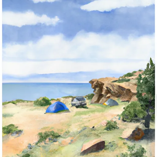 Beavertail 1
|
||
 Beavertail 2
|
||
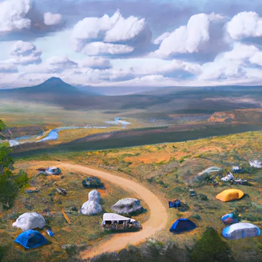 Bull Draw
|

 Connected Lakes
 West Lake (GJ)
 Mack Mesa Reservoir