Summary
The ice wall, which is nearly 50 feet tall, is formed by water seeping out of the rock and freezing in the cold temperatures of the winter months. The Ice Wall is a popular destination for ice climbers and hikers alike, providing a challenging and unique experience for those who are up for the adventure. Visitors can hike to the base of the ice wall or climb to the top for an incredible view of the surrounding mountains and valleys. It is truly a sight to behold and is well worth the trek to see it in person.
One of the main reasons to visit the Lake City Ice Wall is for the challenge and beauty of ice climbing. The ice wall offers a unique opportunity for experienced climbers to test their skills on a natural formation. For those who prefer to stay on the ground, the hike to the ice wall is a beautiful and scenic journey through the mountains and valleys of Colorado. Additionally, visitors can see a variety of wildlife in the area, including deer, elk, and bighorn sheep. Overall, the Lake City Ice Wall is a must-see destination for anyone who loves the outdoors and is looking for a unique and challenging experience.
Hourly Weather Forecast
Area Campgrounds
| Location | Reservations | Toilets |
|---|---|---|
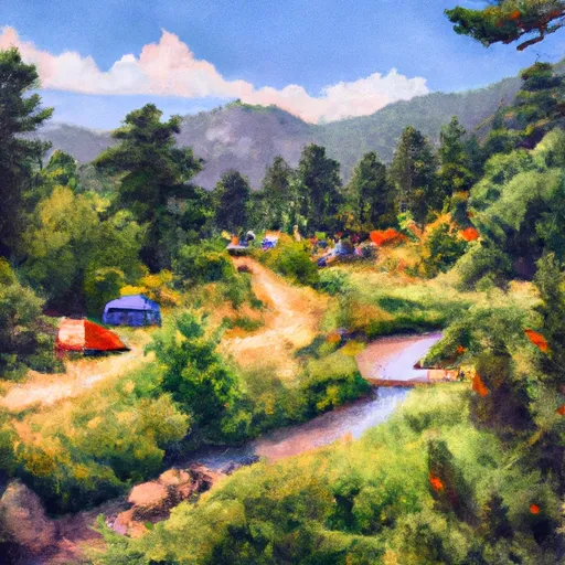 Wupperman
|
||
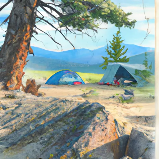 Nellie Creek Site 1
|
||
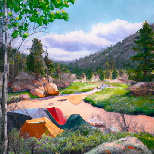 Nellie Creek
|
||
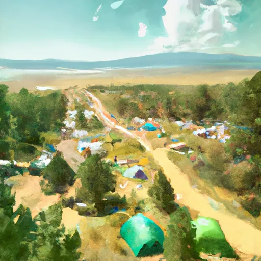 Slumgullion
|
||
 Deer Lakes
|
||
 Deer Lakes Campground - Gunnison Rd
|

 Continental Reservoir Fishing Site
 Continental Reservoir
 Rito Hondo Reservoir