Summary
This exhibit is located at the entrance to the park and provides visitors with detailed information about the area's history, geology, and wildlife.
One of the main reasons to visit this exhibit is to gain a better understanding of the park's unique ecosystem. The exhibit features interactive displays and audio recordings that provide visitors with an immersive learning experience. Visitors can explore the exhibit at their own pace, reading about the area's history and viewing stunning photographs of the park's natural wonders.
The West Entrance Information Map Wayside Exhibit is also a great place to start your adventure in the park. The exhibit provides visitors with detailed maps and information about hiking trails, scenic drives, and other popular attractions in the area. This makes it easy to plan your visit and ensure that you don't miss any of the park's must-see sights.
One of the most unique things about this exhibit is its focus on the park's geology. The area is home to a diverse range of rock formations, including sandstone, shale, and limestone. Visitors can learn about the processes that formed these rocks and the role they play in the park's ecosystem.
Overall, the West Entrance Information Map Wayside Exhibit is an essential stop for anyone visiting Colorado's National Park. It provides visitors with a wealth of information about the area's history, geology, and wildlife, making it the perfect starting point for your adventure in the park.
Hourly Weather Forecast
Area Campgrounds
| Location | Reservations | Toilets |
|---|---|---|
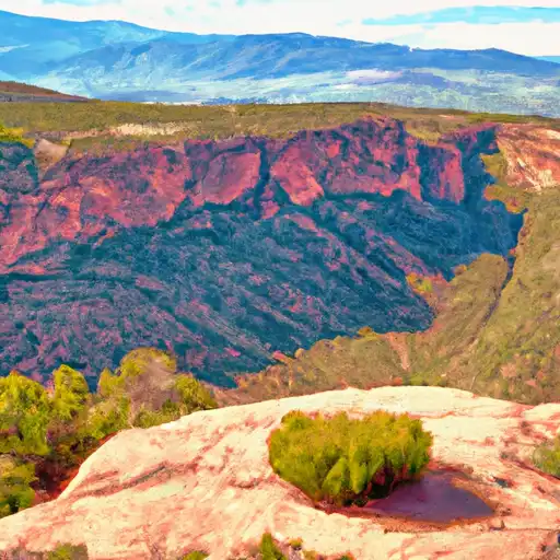 Saddlehorn - Colorado National Monument
|
||
 Saddlehorn Campground
|
||
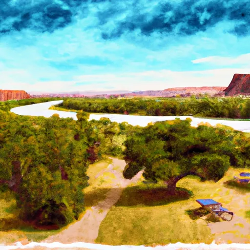 Fruita - Colorado River State Park
|
||
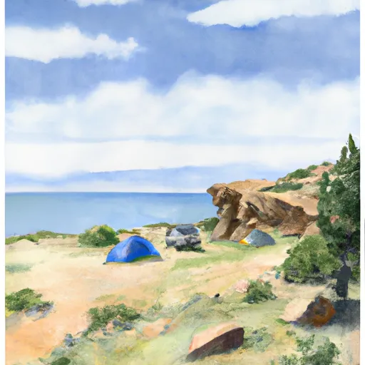 Beavertail 1
|
||
 Beavertail 2
|
||
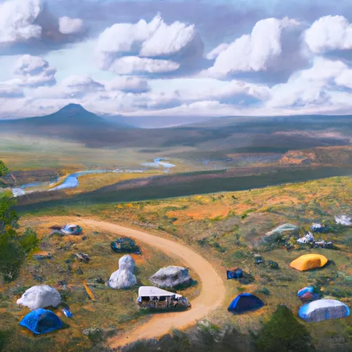 Bull Draw
|

 Connected Lakes
 West Lake (GJ)
 Mack Mesa Reservoir
 Highline Lake