Summary
Built in 1830, this impressive stone structure served as a water pumping station for the canal boats that traveled through the area during the 19th century.
Today, the Old Stone Pump House is a popular point of interest for visitors to the national park. There are several reasons why you should consider adding it to your itinerary:
- History: If you're interested in learning about the history of the Chesapeake and Ohio Canal and the role it played in the development of the region, the Old Stone Pump House is a must-see. Guided tours are available, and there are interpretive exhibits that provide insight into the canal's construction and operation.
- Architecture: The Old Stone Pump House is a stunning example of 19th-century engineering and construction. The intricate stonework and impressive size of the building are sure to impress visitors of all ages.
- Nature: The surrounding area is home to a variety of wildlife, including birds, turtles, and even the occasional beaver. There are several hiking trails that offer stunning views of the nearby Potomac River and Great Falls.
- Photography: The Old Stone Pump House and the surrounding landscape offer countless opportunities for photographers to capture stunning images. Whether you're interested in landscape photography, wildlife photography, or architectural photography, you're sure to find plenty of subjects to shoot.
In addition to these attractions, visitors to the Old Stone Pump House may also be able to see live demonstrations of the canal's operation, including how locks and aqueducts were used to move boats along the waterway.
Overall, the Old Stone Pump House is a unique and fascinating destination that offers something for visitors of all ages and interests. Whether you're a history buff, an architecture enthusiast, or just looking for a scenic hike, this point of interest is definitely worth a visit.
Weather Forecast
Area Campgrounds
| Location | Reservations | Toilets |
|---|---|---|
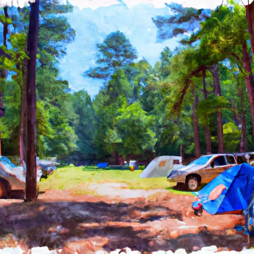 Marsden Tract Campground
|
||
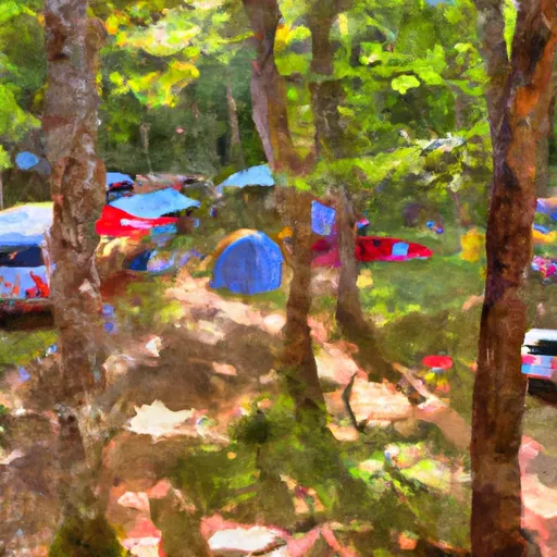 Marsden Tract Group Campsite
|
||
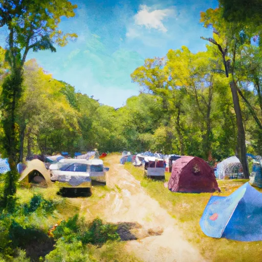 Camp Loop D
|
||
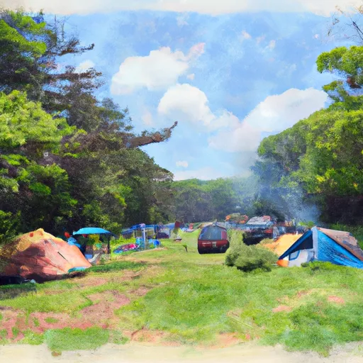 Camp Loop C
|
||
 Camp Loop B
|
||
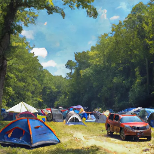 Camp Loop A
|

 Book Hill Park
 Normanstone Park
 Georgetown Community Recreational Area
 Whitehaven Parkway Park
 Francis Pool
 Deep Branch (historical)
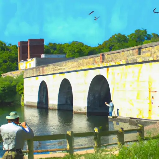 Potomac Aqueduct (historical)
 Rock Creek
 Foundry Branch
 Bruce-Monroe Elementary School