Summary
The trail is a 4.4-mile out-and-back hike that takes visitors through a beautiful canyon with stunning rock formations and scenic views of the surrounding landscape. The highlight of the trail is the narrow 24-inch ledge that hikers must traverse to reach the end of the trail. The trail is rated as moderate and is suitable for hikers of all levels.
Visitors to the 24 Inch Ledge on Trail can expect to see a variety of unique rock formations and geological features, including towering cliffs, narrow canyons, and beautiful rock formations. The trail is also home to a diverse range of wildlife, including coyotes, deer, and a variety of bird species. Hikers can also take in stunning views of the surrounding landscape, including the Sangre de Cristo Mountains and the Rio Grande Valley. Overall, the 24 Inch Ledge on Trail is a must-visit destination for hikers and nature enthusiasts looking to explore the beauty of New Mexico's natural landscape.
Weather Forecast
Area Campgrounds
| Location | Reservations | Toilets |
|---|---|---|
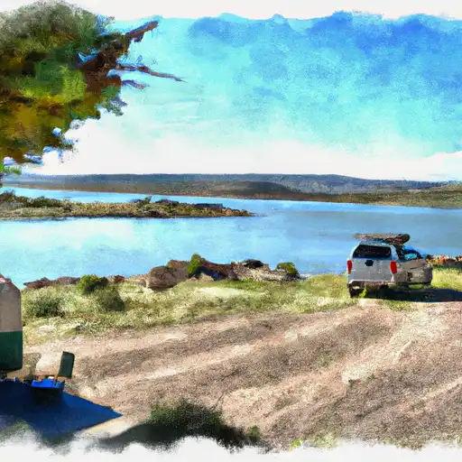 Cochiti - Cochiti Lake
|
||
 Tetilla Peak - Cochiti Lake
|
||
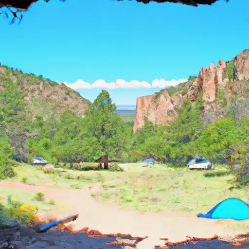 Juniper - Bandelier National Monument
|
||
 Ponderosa Reservation Group Campground
|
||
 Las Conchas
|

 Wilderness Dome
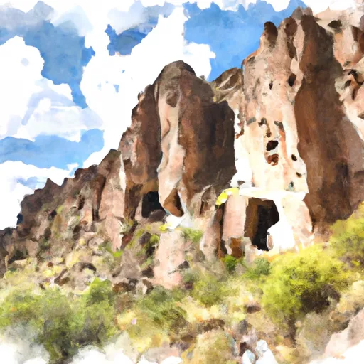 Bandelier National Monument
 Wilderness Bandelier