Summary
It is a unique archaeological site that provides visitors with a glimpse of the ancestral Pueblo culture. The site is located on the banks of the Rio Grande and is accessible via a short trail.
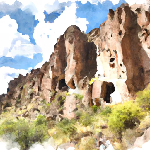
There are several good reasons to visit the Talus House. For one, it is an excellent opportunity to learn about the history of the Pueblo people. The site contains the remains of a large dwelling that was home to a number of families over 700 years ago. Visitors can explore the ruins and gain insight into the daily lives of these ancient people.
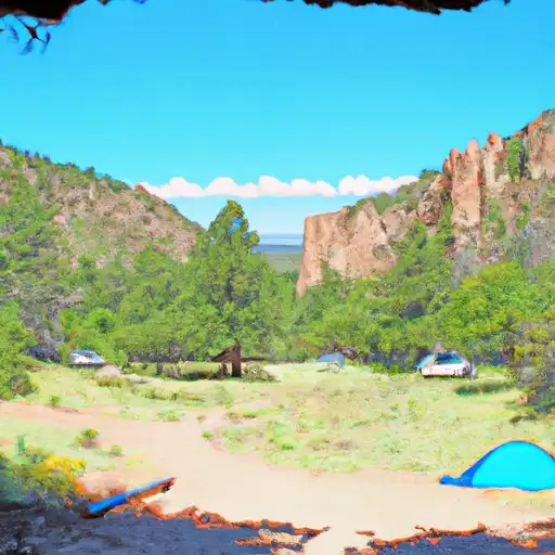
Another reason to visit the Talus House is to appreciate the natural beauty of the surrounding landscape. The trail to the site winds through a picturesque canyon and offers stunning views of the surrounding cliffs and mesas. The area is also home to a variety of wildlife, including deer, coyotes, and birds of prey.
One of the unique things visitors might see at the Talus House is the remains of a kiva, a ceremonial structure used by the Pueblo people for religious rituals. The kiva at the Talus House is particularly interesting because it has a rare circular design that is not commonly found in other ancestral Pueblo sites.
Overall, the Talus House is a must-see attraction for anyone interested in history, archaeology, or natural beauty. Visitors can enjoy a short hike, learn about ancient cultures, and take in the stunning New Mexico landscape all in one place.
Weather Forecast
Area Campgrounds
| Location | Reservations | Toilets |
|---|---|---|
 Juniper - Bandelier National Monument
|
||
 Ponderosa Reservation Group Campground
|
||
 Tetilla Peak - Cochiti Lake
|
||
 Cochiti - Cochiti Lake
|

 Wilderness Bandelier
 Bandelier National Monument
 Ashley Pond
 Xeriscape Demo Garden
 Orange St Playlot