Summary
This site has significant historical importance as it was the original entrance station for the park when it was first established in 1947.
Along with its historical significance, visitors can also enjoy stunning views of the Badlands from this location. The entrance station is situated on a hill, providing a panoramic view of the surrounding landscape.
The station itself has been restored to appear as it did in the 1950s, providing visitors with a glimpse into the past. The building features a small museum with exhibits on the history of the park and its namesake, President Theodore Roosevelt.
Additionally, there are several hiking trails that begin near the entrance station, including the popular Wind Canyon Trail. This trail offers a scenic hike through the Badlands and provides breathtaking views of the Little Missouri River.
Overall, the Historic South Unit Entrance Station is a unique and historically significant point of interest that offers visitors stunning views and educational experiences. It is definitely worth a visit for anyone exploring Theodore Roosevelt National Park.

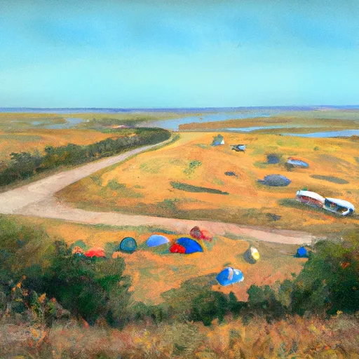 Sully Creek State Rec Area
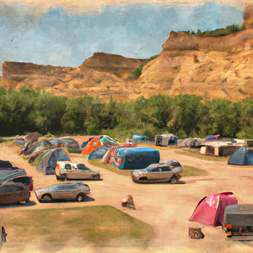 Medora City Campground
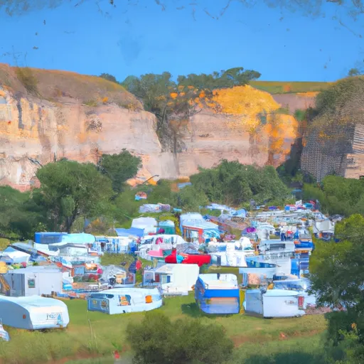 Medora City RV Campground
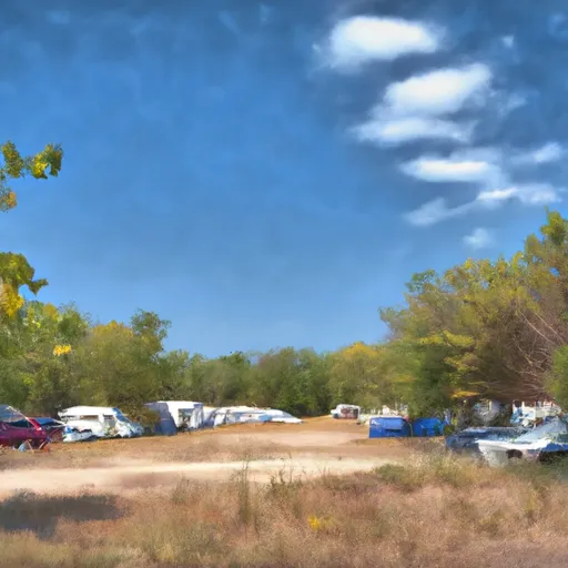 Sully Creek State Park Campground
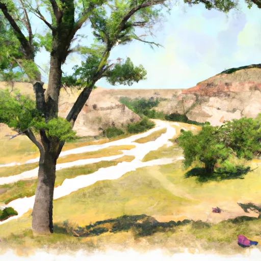 Cottonwood - Theodore Roosevelt National Park
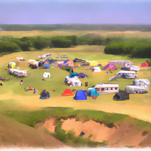 Roundup Horse Group Campground
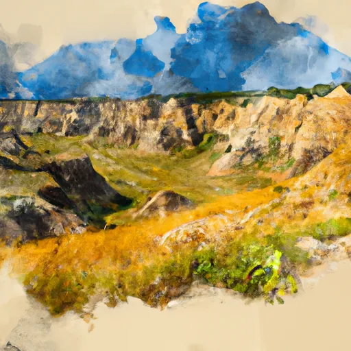 Theodore Roosevelt National Park South Unit
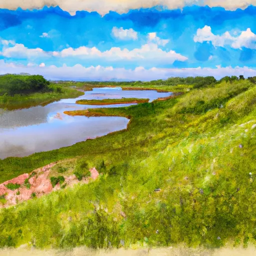 Sully Creek State Recreation Area
 Wilderness Theodore Roosevelt