Summary
Here are some reasons why you should consider visiting this location during your trip to the park:
1. Stunning Views: The Johnson Plateau offers some of the most breathtaking views of the Badlands in the park. The plateau sits high above the surrounding terrain, providing visitors with a panoramic view of the rugged landscape below.
2. Wildlife Spotting: The Johnson Plateau is home to a variety of wildlife, including bison, pronghorns, coyotes, and bighorn sheep. Visitors can take a guided tour or explore the area on their own to see these animals in their natural habitat.
3. Hiking Trails: The Johnson Plateau offers several hiking trails that are perfect for visitors who want to experience the beauty of the Badlands up close. The trails range in difficulty from easy to strenuous, so there is something for everyone.
4. Historical Significance: The Johnson Plateau was once home to a thriving ranching industry, and visitors can still see the remnants of this history today. The park offers guided tours that explore the area's rich cultural heritage.
5. Photography Opportunities: The Johnson Plateau is a popular spot for photographers due to its stunning vistas and unique geological formations. Visitors can capture some truly amazing shots of the Badlands from this vantage point.
In summary, the Johnson Plateau is a must-see destination for anyone visiting the Theodore Roosevelt National Park. From stunning views to wildlife spotting and hiking trails, there is something for everyone at this unique point of interest.

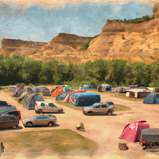 Medora City Campground
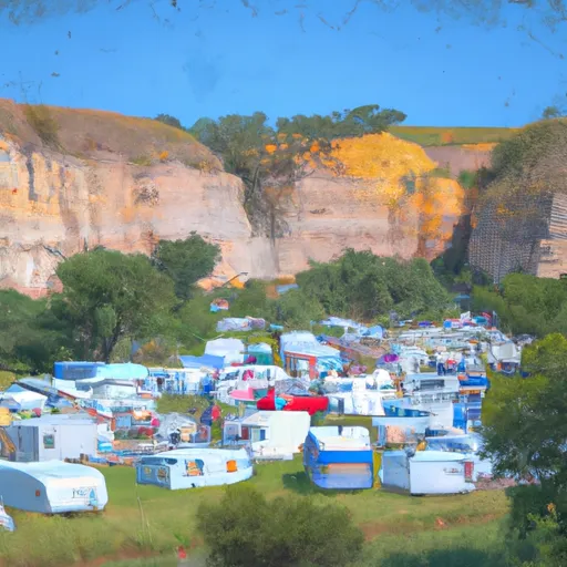 Medora City RV Campground
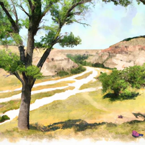 Cottonwood - Theodore Roosevelt National Park
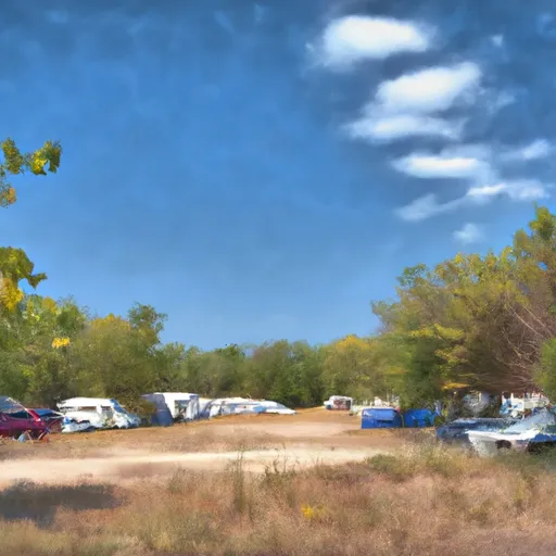 Sully Creek State Park Campground
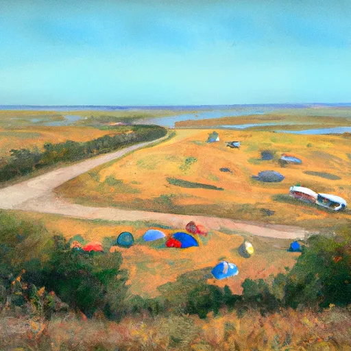 Sully Creek State Rec Area
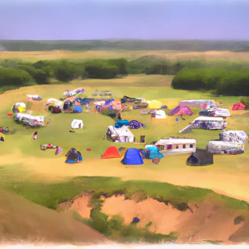 Roundup Horse Group Campground
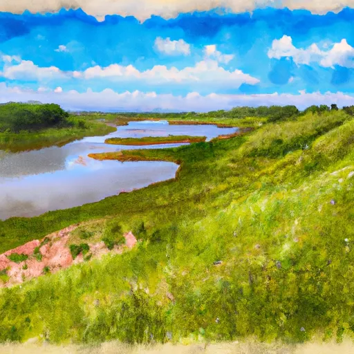 Sully Creek State Recreation Area
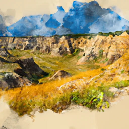 Theodore Roosevelt National Park South Unit
 National Park Theodore Roosevelt