Summary
This exhibit is a unique way to learn about the natural history and geology of the Badlands, an area that is known for its rugged terrain and stunning vistas.
The exhibit is dedicated to the geologic history of the area, particularly the formation of the Badlands. Visitors can learn about the forces that shaped the region and see examples of the rock formations that make up the landscape. The name "Hell With Fire Out" refers to the intense heat and volcanic activity that occurred millions of years ago, which ultimately led to the formation of the Badlands.
One of the reasons to visit the "Hell With Fire Out" exhibit is to gain a deeper understanding of the area's unique geology. It's an excellent opportunity to learn about the forces that have shaped the region and to see evidence of those forces up close. The exhibit is also a great way to connect with the natural world and appreciate the beauty of the Badlands.
Visitors to the "Hell With Fire Out" exhibit can expect to see examples of the distinctive rock formations that make up the Badlands. They'll also learn about the plants and animals that call the area home, including bison, pronghorn, and coyotes. The exhibit is located in a stunning natural setting, and visitors are sure to be impressed by the rugged beauty of the Badlands.
Overall, the "Hell With Fire Out" exhibit is an excellent point of interest to visit when exploring Theodore Roosevelt National Park. It's a unique opportunity to learn about the geologic history of the Badlands and to appreciate the beauty of this rugged and untamed region.

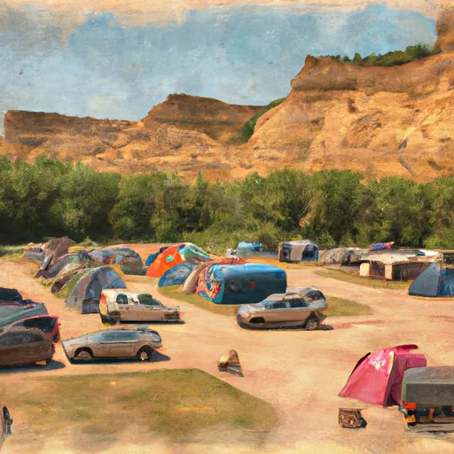 Medora City Campground
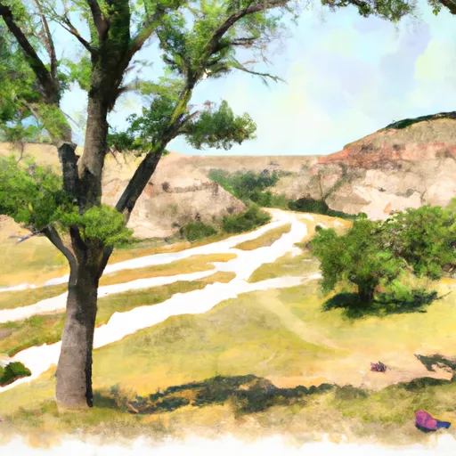 Cottonwood - Theodore Roosevelt National Park
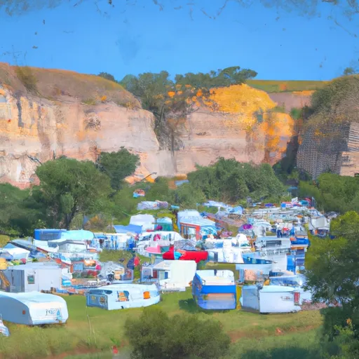 Medora City RV Campground
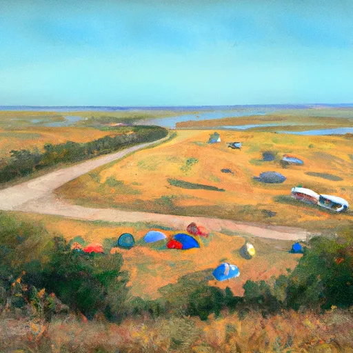 Sully Creek State Rec Area
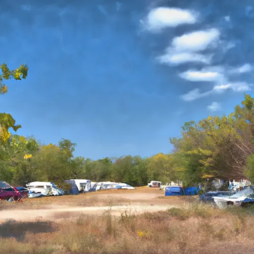 Sully Creek State Park Campground
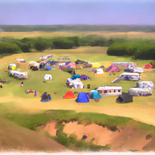 Roundup Horse Group Campground
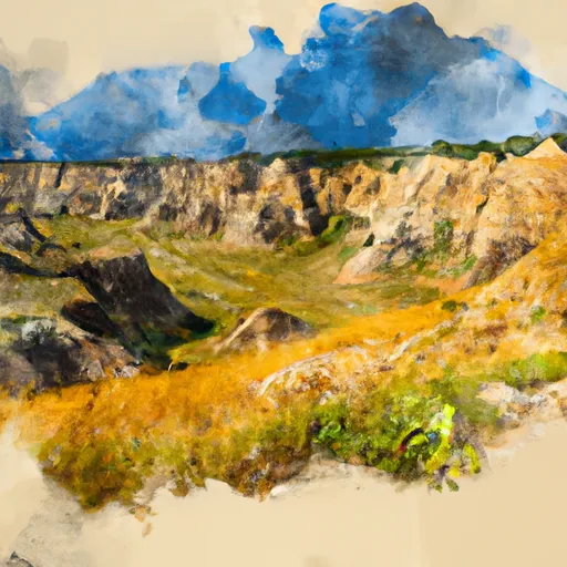 Theodore Roosevelt National Park South Unit
 Wilderness Theodore Roosevelt
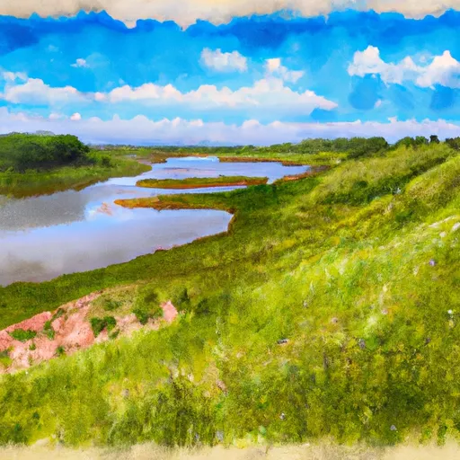 Sully Creek State Recreation Area