Summary
Located in the park's South Unit, the overlook offers a stunning panoramic view of the Little Missouri River and the surrounding Badlands landscape.
One of the main reasons to visit Wind Canyon Overlook is the breathtaking view. From the overlook, visitors can see the expansive Badlands terrain, which includes colorful rock formations, deep valleys, and rugged cliffs. The view is particularly impressive during sunrise and sunset when the colors of the landscape are enhanced by the changing light.
In addition to the scenery, Wind Canyon Overlook also offers visitors the chance to spot wildlife. Bison, elk, coyotes, and prairie dogs are just a few of the animals that can be seen in the area. Birdwatchers may also spot eagles, hawks, and vultures soaring overhead.
For those interested in hiking, the Wind Canyon Trail is a popular route that takes visitors down into the canyon itself. The trail is just over a mile long and offers a unique perspective of the Badlands landscape from a lower vantage point.
Overall, Wind Canyon Overlook is a must-see destination for anyone visiting Theodore Roosevelt National Park. Its stunning vistas, abundant wildlife, and hiking opportunities make it a favorite among visitors and locals alike.

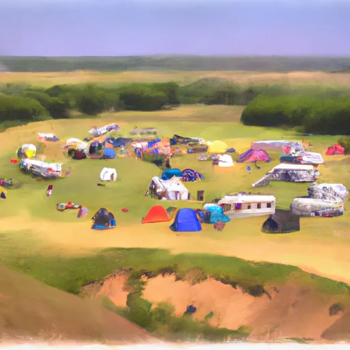 Roundup Horse Group Campground
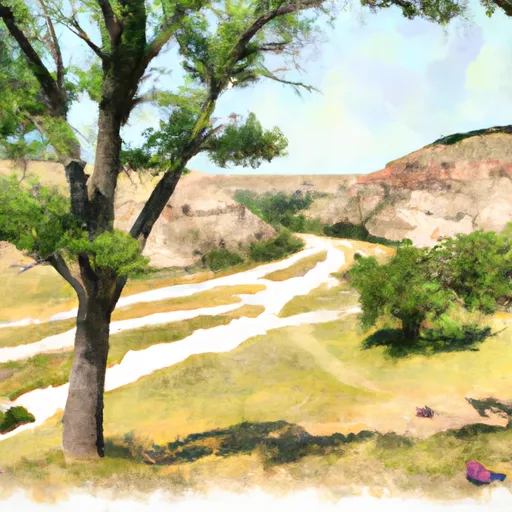 Cottonwood - Theodore Roosevelt National Park
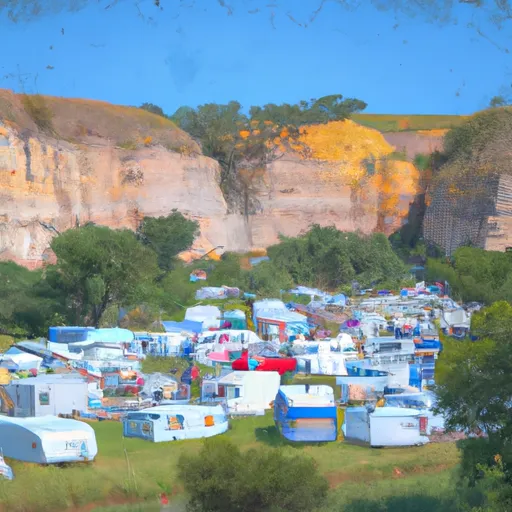 Medora City RV Campground
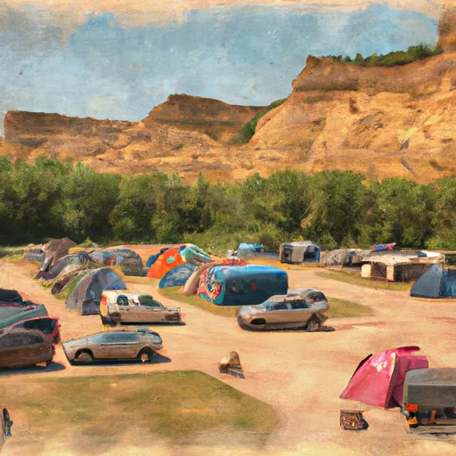 Medora City Campground
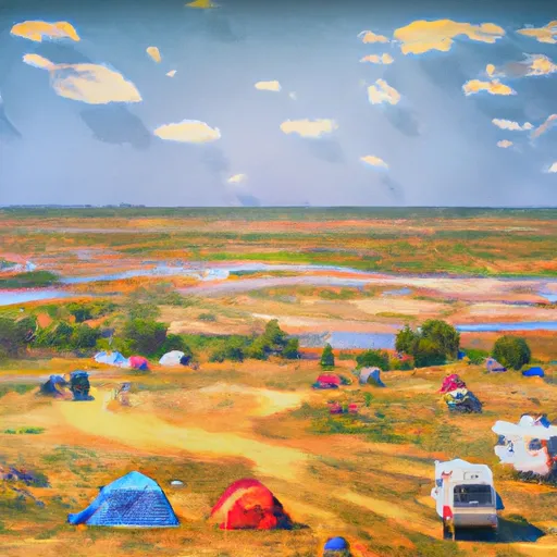 Wannagan
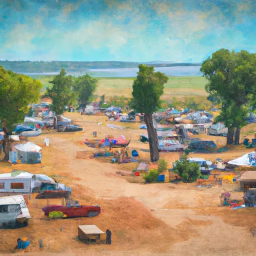 Wannagan Campground
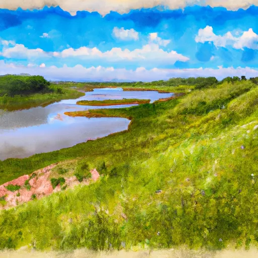 Sully Creek State Recreation Area
 National Park Theodore Roosevelt
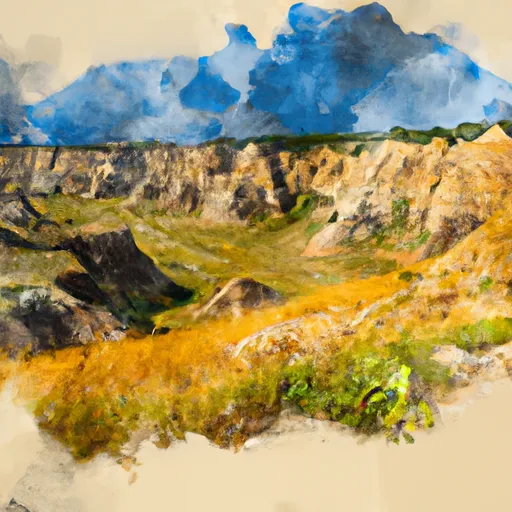 Theodore Roosevelt National Park South Unit