Summary
The trail is a moderate level hike of about 2.5 miles round trip, and it offers stunning views of the canyons and rock formations. The trail takes about 1-2 hours to complete and is suitable for hikers of all levels. One of the unique things about this trail is the abundance of opals that can be found in the area, hence the name Opal Canyon Overlook. Visitors are allowed to collect opals in the area, but it is important to follow the rules and regulations set forth by the Bureau of Land Management to avoid any damage to the ecosystem.
The Opal Canyon Overlook is a great place to visit for those who love hiking and nature. The trail offers breathtaking views of the surrounding landscapes, including canyons, rock formations, and the Crooked River. Visitors can also enjoy the wildlife, including birds, lizards, and other small animals. The trail is well-maintained, and visitors can easily access the trailhead from the parking area. Another unique thing about the area is the opportunity to collect opals, which makes the hike even more exciting. Overall, the Opal Canyon Overlook is a must-visit for anyone who loves outdoor activities and wants to see the beauty of Oregon's natural landscapes.
°F
°F
mph
Wind
%
Humidity

 Cove Palisades State Park
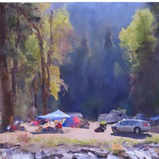 Steelhead Falls Campground
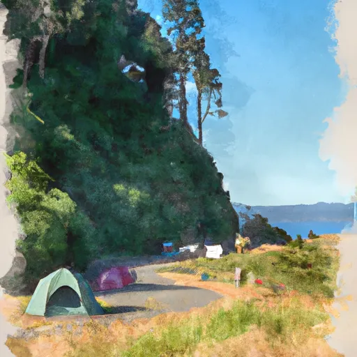 Haystack West Shore Campground and Day Use Area
 BLM Beach Campground
 Haystack South Shore Group Campground
 Haystack Reservoir Campground and Day Use Area