Summary
The parking area is located near milepost 74.7 and is easily accessible by car. The area provides visitors with stunning views of the surrounding mountains and valleys, making it a popular spot for photography and hiking.
There are several good reasons to visit the Thunder Ridge Parking Area. For one, it offers a convenient starting point for several hiking trails in the area. The trails range from short, easy hikes to longer, more challenging ones that take visitors deep into the heart of the Appalachian Mountains. One of the most popular trails is the Thunder Ridge Trail, which is a moderate 3.6-mile loop. It takes hikers through the forest and offers breathtaking views of the surrounding area.
Another reason to visit the Thunder Ridge Parking Area is to see the unique flora and fauna that inhabit the area. The region is home to a wide variety of wildlife, including black bears, deer, and various species of birds. The area is also home to several rare and endangered plant species, such as the Virginia round-leaf birch and the Fraser fir.
In addition to hiking and wildlife viewing, the Thunder Ridge Parking Area also provides visitors with opportunities for camping, picnicking, and enjoying the natural beauty of the area. There are several picnic areas and campsites nearby, making it a perfect spot for a day trip or weekend getaway.
Overall, the Thunder Ridge Parking Area is a must-visit location for anyone interested in nature, hiking, and outdoor activities. It offers stunning views, unique flora and fauna, and a peaceful escape from the hustle and bustle of daily life.
°F
°F
mph
Wind
%
Humidity

 Hopper Creek Group Campground
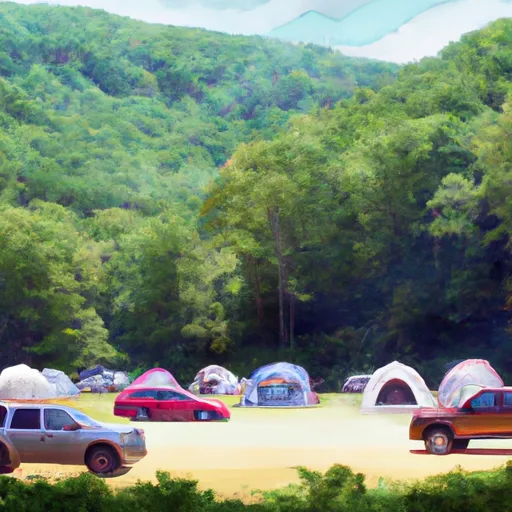 Cave Mountain Lake Campground
 Cave Mountain Lake
 Cave Mountain Lake Recreation Area
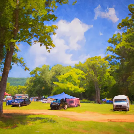 North Creek Campground
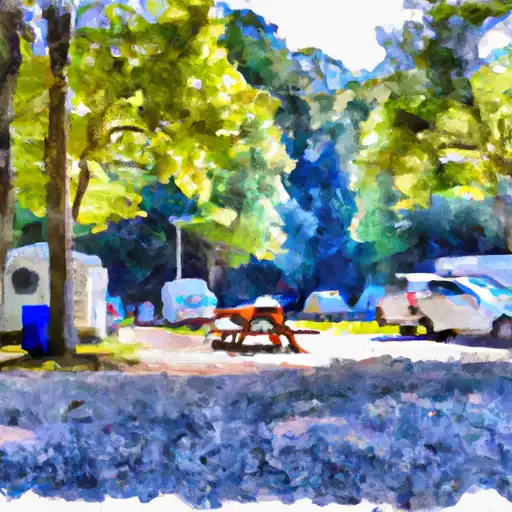 North Creek