

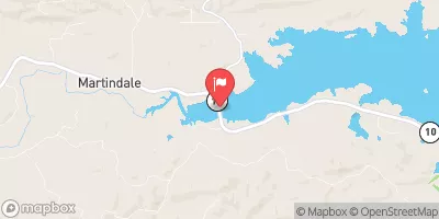
Lake Maumelle At State Hwy 10 Near Wye, Ar Realtime Data
LAKE MAUMELLE AT STATE HWY 10 NEAR WYE, AR
Realtime Data • Report • Conditions
Discharge (cfs)
10.6
Gauge Height (ft)
USGS 072632966
Streamflow discharge was last observed at 293 cfs, and a gauge height of 10.63 feet.
With the
% decrease since yesterday,
the streamflow average over the past 10 days is 190 .
Weather today, Tomorrow,
The primary source of water is the Fourche La Fave River, with other minor streams contributing during rainy seasons. The lake is impounded by the Lake Maumelle Dam, which was completed in 1957. The lake experiences seasonal trends, with higher levels during the rainy season and lower levels during the dry season. Interesting facts include the lake's role as a major source of drinking water for the Little Rock metropolitan area and its protection by the Clean Water Act due to its importance for water quality.
October 21, 2026
| Elevation | 287.0 ft |
| Last Updated | |
| Gauge Height | 10.63 ft |
| Observed Discharge | cfs |
| Percent of Normal | % |
| Year Over Year Average | cfs |
| 24hr Flow Prediction | cfs |
| Maximum Recorded | cfs |
| Geolocation | 34.87, -92.65 |
 Continue with Snoflo Premium