

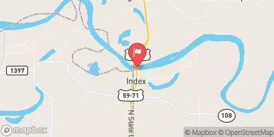
Red River At Index, Ar Realtime Data
RED RIVER AT INDEX, AR
Realtime Data • Report • Conditions
1,140
Discharge (cfs)
0.2
Gauge Height (ft)
USGS 07337000
Streamflow discharge was last observed at 1,140 cfs, and a gauge height of 0.21 feet.
With the
% decrease since yesterday,
the streamflow average over the past 10 days is 1,660 .
Weather today, Tomorrow,
It is partially impounded by the Clearwater Lake Dam, which affects its flow rate and seasonal trends. During the wet season, the river experiences flooding due to heavy rainfall, and during the dry season, it may experience low flows. Interestingly, the river has been known to turn red due to the presence of iron oxide, giving it its name. Overall, the Red River at Index, AR streamgauge is an important hydrological feature of the region, providing water for agriculture, drinking, and recreation.
October 22, 2026
| Elevation | 307.0 ft |
| Last Updated | |
| Gage height, ft | 0.21 ft |
| Precipitation, total, in | 0.0 in |
| Temperature, water, °C | 20.5 deg C |
| Streamflow, ft³/s | 1140.0 ft3/s |
| Percent of Normal | 66% |
| Year Over Year Average | 1,740 cfs |
| 24hr Flow Prediction | cfs |
| Maximum Recorded | 261,000 cfs |
| Geolocation | 33.55, -94.04 |
 Continue with Snoflo Premium