

Saline River At Benton, Ar Realtime Data
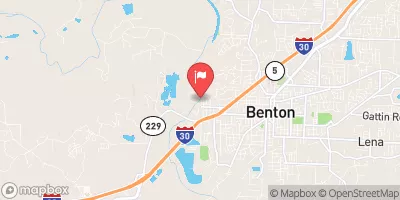
SALINE RIVER AT BENTON, AR
Realtime Data • Report • Conditions
16
Discharge (cfs)
3.1
Gauge Height (ft)
Streamflow discharge was last observed at 16 cfs, and a gauge height of 3.14 feet.
With the
% decrease since yesterday,
the streamflow average over the past 10 days is 11 .
Weather today, Tomorrow,
The Saline River is primarily fed by rainfall and snowmelt, with minor contributions from tributaries such as the Alum Fork and Hurricane Creek. The river has two significant dams, Lake Norrell and Lake Winona, which help regulate its flow. During the rainy season, the Saline River experiences increased flow due to runoff and precipitation. In contrast, during the dry season, the river's flow decreases, and its water levels can drop significantly. Interestingly, the Saline River is known for its diverse aquatic fauna, including several species of fish and mussels unique to the region.
October 11, 2026
| Elevation | 265.0 ft |
| Last Updated | |
| Gage height, ft | 3.14 ft |
| Streamflow, ft³/s | 15.6 ft3/s |
| Percent of Normal | 48% |
| Year Over Year Average | 33 cfs |
| 24hr Flow Prediction | cfs |
| Maximum Recorded | 62,900 cfs |
 Continue with Snoflo Premium