

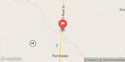
Saline River Near Sheridan, Ar Realtime Data
SALINE RIVER NEAR SHERIDAN, AR
Realtime Data • Report • Conditions
11
Discharge (cfs)
2.1
Gauge Height (ft)
Streamflow discharge was last observed at 11 cfs, and a gauge height of 2.09 feet.
With the
% decrease since yesterday,
the streamflow average over the past 10 days is 16 .
Weather today, Tomorrow,
The stream is fed by several tributaries, including Brushy Creek and Caney Creek. There are also several dams along the river, including the Saline River Dam and the Lake Catherine Dam. The flow of the river is influenced by seasonal trends, with higher flows occurring in the spring and lower flows in the summer and fall. There are also some interesting facts about the river, including its role in the Civil War and its popularity as a recreational area for fishing and boating. Overall, the Saline River is an important resource for the community and a fascinating subject for hydrology students to study.
October 22, 2026
| Elevation | 177.0 ft |
| Last Updated | |
| Gage height, ft | 2.09 ft |
| Precipitation, total, in | 0.0 in |
| Streamflow, ft³/s | 11.1 ft3/s |
| Percent of Normal | 10% |
| Year Over Year Average | 115 cfs |
| 24hr Flow Prediction | cfs |
| Maximum Recorded | 51,300 cfs |
 Continue with Snoflo Premium