

Spring River At Imboden, Ar Realtime Data
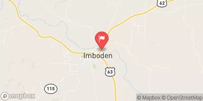
SPRING RIVER AT IMBODEN, AR
Realtime Data • Report • Conditions
312
Discharge (cfs)
2.7
Gauge Height (ft)
Streamflow discharge was last observed at 312 cfs, and a gauge height of 2.68 feet.
With the
% decrease since yesterday,
the streamflow average over the past 10 days is 311 .
Weather today, Tomorrow,
The river flows through a narrow canyon with steep banks, which can cause flash floods during heavy rainfall. The river is also home to several dams, including the North and South Fork Dams, which regulate water flow and provide recreational opportunities. Seasonally, the river experiences high flow during the spring and summer due to increased rainfall and snowmelt. Interestingly, the river is a popular destination for trout fishing, with rainbow and brown trout being common catches. Overall, the Spring River at Imboden, AR streamgauge is a dynamic and important hydrological feature of the region.
October 22, 2026
| Elevation | 259.0 ft |
| Last Updated | |
| Gage height, ft | 2.68 ft |
| Precipitation, total, in | 0.0 in |
| Streamflow, ft³/s | 312.0 ft3/s |
| Percent of Normal | 67% |
| Year Over Year Average | 468 cfs |
| 24hr Flow Prediction | cfs |
| Maximum Recorded | 104,000 cfs |
 Continue with Snoflo Premium