

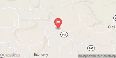
West Fork Point Remove Creek Near Hattieville, Ar Realtime Data
WEST FORK POINT REMOVE CREEK NEAR HATTIEVILLE, AR
Realtime Data • Report • Conditions
0
Discharge (cfs)
2.6
Gauge Height (ft)
USGS 07260673
Streamflow discharge was last observed at 0 cfs, and a gauge height of 2.60 feet.
With the
% decrease since yesterday,
the streamflow average over the past 10 days is 0 .
Weather today, Tomorrow,
The creek is fed by various smaller tributaries and is not influenced by any major dams. Seasonal trends show that flow is highest in the spring due to snowmelt and rainfall, and lowest in the late summer and fall when the weather is drier. Interestingly, the creek is home to several species of fish, including the Ozark bass, which is a popular game fish for anglers in the area. The West Fork Point Remove Creek is an important water resource for the surrounding communities and its flow is closely monitored to ensure adequate water supply.
October 15, 2026
| Elevation | 288.0 ft |
| Last Updated | |
| Gage height, ft | 2.6 ft |
| Streamflow, ft³/s | 0.19 ft3/s |
| Percent of Normal | 9% |
| Year Over Year Average | 2 cfs |
| 24hr Flow Prediction | cfs |
| Maximum Recorded | 11,300 cfs |
| Geolocation | 35.32, -92.87 |
 Continue with Snoflo Premium