

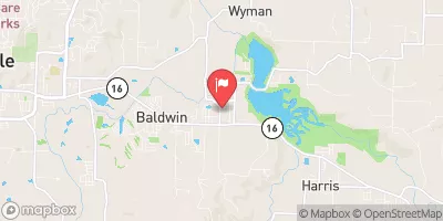
West Fork White River East Of Fayetteville, Ar Realtime Data
WEST FORK WHITE RIVER EAST OF FAYETTEVILLE, AR
Realtime Data • Report • Conditions
3
Discharge (cfs)
1.3
Gauge Height (ft)
Streamflow discharge was last observed at 3 cfs, and a gauge height of 1.27 feet.
With the
% decrease since yesterday,
the streamflow average over the past 10 days is 3 .
Weather today, Tomorrow,
The primary constituents of the river are rainfall and runoff from the surrounding Ozark Mountains. The streamgauge provides important data for flood control and management, as well as for recreational activities like fishing, canoeing, and kayaking. The river is home to several species of fish, including smallmouth and largemouth bass, and is known for its clear water and scenic beauty. Seasonal trends in flow are influenced by rainfall and snowmelt, with the highest flows typically occurring in the spring and fall. There are several dams on tributaries of the West Fork, including the Lake Sequoyah Dam. One interesting fact about the hydrology of the West Fork is that it has been designated a National Wild and Scenic River due to its outstanding natural and scenic value.
October 9, 2026
| Elevation | 1,187.0 ft |
| Last Updated | |
| Gage height, ft | 1.27 ft |
| Temperature, water, °C | 26.9 deg C |
| Streamflow, ft³/s | 2.54 ft3/s |
| Specific conductance, water, unfiltered, microsiemens per centimeter at 25°C | 6.0 uS/cm @25C |
| Turbidity, water, unfiltered, monochrome near infra-red LED light, 780-900 nm, detection angle 90 ±2.5°, formazin nephelometric units (FNU) | 0.3 FNU |
| Suspended sediment concentration, water, unfiltered, at a fixed point in stream, estimated by a regression equation with turbidity, milligrams per liter | 0.4 mg/l |
| Percent of Normal | 67% |
| Year Over Year Average | 4 cfs |
| 24hr Flow Prediction | cfs |
| Maximum Recorded | 15,400 cfs |
| Geolocation | 36.05, -94.08 |
 Continue with Snoflo Premium