

Palo Verde Canal Near Blythe, Ca Realtime Data
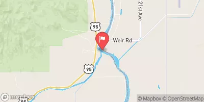
PALO VERDE CANAL NEAR BLYTHE, CA
Realtime Data • Report • Conditions
704
Discharge (cfs)
34.8
Gauge Height (ft)
USGS 09429000
Streamflow discharge was last observed at 704 cfs, and a gauge height of 34.75 feet.
With the
% decrease since yesterday,
the streamflow average over the past 10 days is 546 .
Weather today, Tomorrow,
The canal serves as a major source of irrigation for agriculture in the region. There are no major tributaries or dams associated with the canal. Flow in the canal is highest during the spring and summer months when irrigation demands are highest. Interestingly, the canal also provides a habitat for various aquatic species, including fish and waterfowl. Overall, the hydrology of the Palo Verde Canal plays a crucial role in supporting agricultural production and ecological diversity in the region.
October 24, 2026
| Elevation | 272.0 ft |
| Last Updated | |
| Mean water velocity for discharge computation, feet per second | 0.85 ft/sec |
| Water velocity reading from field sensor, feet per second | 0.92 ft/sec |
| Gage height, ft | 34.75 ft |
| Streamflow, ft³/s | 704.0 ft3/s |
| Percent of Normal | 94% |
| Year Over Year Average | 749 cfs |
| 24hr Flow Prediction | cfs |
| Maximum Recorded | 4,320 cfs |
| Geolocation | 33.73, -114.51 |
 Continue with Snoflo Premium