

Pvid D23 Spill Near Blythe, Ca. Realtime Data
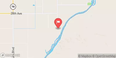
PVID D23 SPILL NEAR BLYTHE, CA.
Realtime Data • Report • Conditions
0
Discharge (cfs)
0.0
Gauge Height (ft)
USGS 09429180
Streamflow discharge was last observed at 0 cfs, and a gauge height of 0.01 feet.
With the
% decrease since yesterday,
the streamflow average over the past 10 days is 6 .
Weather today, Tomorrow,
The flow providers/constituents for this spill are primarily agricultural irrigation districts. There are no specific tributaries or dams associated with this location. Seasonal trends in the hydrology of this area are characterized by low flows during the summer months and occasional flash floods during the winter rains. Interestingly, the water in this area is heavily used for agriculture, with alfalfa being the most common crop. The spill had the potential to impact nearby farmlands and the Colorado River.
October 22, 2026
| Elevation | 254.0 ft |
| Last Updated | |
| Gage height, ft | 0.01 ft |
| Streamflow, ft³/s | 0.04 ft3/s |
| Percent of Normal | 2% |
| Year Over Year Average | 15 cfs |
| 24hr Flow Prediction | cfs |
| Maximum Recorded | 100 cfs |
| Geolocation | 33.49, -114.60 |
 Continue with Snoflo Premium