

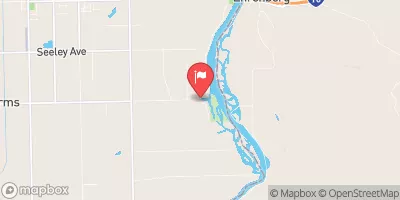
Pvid F-Canal Spill Near Blythe, Ca. Realtime Data
PVID F-CANAL SPILL NEAR BLYTHE, CA.
Realtime Data • Report • Conditions
4
Discharge (cfs)
10.7
Gauge Height (ft)
Streamflow discharge was last observed at 4 cfs, and a gauge height of 10.66 feet.
With the
% decrease since yesterday,
the streamflow average over the past 10 days is 3 .
Weather today, Tomorrow,
The spill was caused by a breach in the canal, resulting in the release of water containing pesticides, herbicides, and fertilizers. The canal is fed by the Colorado River and provides irrigation water to the Palo Verde Irrigation District. The spill flowed into the nearby unnamed wash, which eventually empties into the Colorado River. There are no major tributaries or dams in the immediate vicinity of the spill. The hydrology of the region is characterized by seasonal fluctuations, with low flows in the summer and higher flows in the winter months. Interestingly, the Colorado River basin is one of the most heavily managed river systems in the world, with multiple dams and reservoirs controlling water flow.
October 22, 2026
| Elevation | 265.0 ft |
| Last Updated | |
| Gage height, ft | 10.66 ft |
| Streamflow, ft³/s | 3.99 ft3/s |
| Percent of Normal | 23% |
| Year Over Year Average | 18 cfs |
| 24hr Flow Prediction | cfs |
| Maximum Recorded | 118 cfs |
| Geolocation | 33.57, -114.55 |
 Continue with Snoflo Premium