

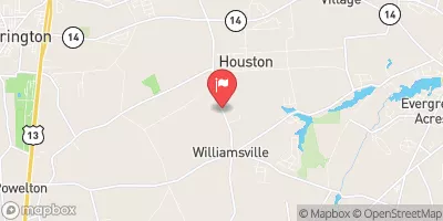
Beaverdam Branch At Houston, De Realtime Data
BEAVERDAM BRANCH AT HOUSTON, DE
Realtime Data • Report • Conditions
1
Discharge (cfs)
2.6
Gauge Height (ft)
Streamflow discharge was last observed at 1 cfs, and a gauge height of 2.56 feet.
With the
% decrease since yesterday,
the streamflow average over the past 10 days is 1 .
Weather today, Tomorrow,
The stream flow is primarily supplied by agricultural runoff and stormwater, with no major tributaries or dams affecting its flow. Seasonal trends show a decrease in flow during the summer months due to evapotranspiration and a decrease in rainfall. One interesting fact about the hydrology of this stream is that it is located in a region of Delaware that is prone to flooding, making it important to monitor the water levels regularly. Overall, this stream provides valuable data on water quality and quantity in the region, which can inform management decisions and conservation efforts.
October 15, 2026
| Elevation | 38.0 ft |
| Last Updated | |
| Gage height, ft | 2.56 ft |
| Stream water level elevation above NAVD 1988, in ft | 36.9 ft |
| Streamflow, ft³/s | 0.89 ft3/s |
| Specific conductance, water, unfiltered, microsiemens per centimeter at 25°C | 147.0 uS/cm @25C |
| Temperature, water, °C | 18.3 deg C |
| Percent of Normal | 77% |
| Year Over Year Average | 2 cfs |
| 24hr Flow Prediction | cfs |
| Maximum Recorded | 342 cfs |
| Geolocation | 38.91, -75.51 |
 Continue with Snoflo Premium