

St Jones River At Dover, De Realtime Data
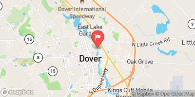
ST JONES RIVER AT DOVER, DE
Realtime Data • Report • Conditions
8
Discharge (cfs)
2.6
Gauge Height (ft)
Streamflow discharge was last observed at 6 cfs, and a gauge height of 2.57 feet.
With the
% decrease since yesterday,
the streamflow average over the past 10 days is 12 .
Weather today, Tomorrow,
Jones River at Dover, DE streamgauge is primarily fed by surface runoff and groundwater. There are no major tributaries or dams that significantly affect the flow of the river. Seasonally, there is typically a higher flow during the winter and spring due to increased precipitation and snowmelt. A unique aspect of the hydrology of the St. Jones River is the presence of tidal influence up to the Route 9 Bridge in Dover, which affects the flow and water quality of the river. Additionally, the river is home to a variety of fish and wildlife, including American shad, striped bass, and river otters.
October 9, 2026
| Elevation | 3.0 ft |
| Last Updated | |
| Water velocity reading from field sensor, feet per second | 0.01 ft/sec |
| Gage height, ft | 2.57 ft |
| Stream water level elevation above NAVD 1988, in ft | 1.79 ft |
| Streamflow, ft³/s | 5.79 ft3/s |
| Specific conductance, water, unfiltered, microsiemens per centimeter at 25°C | 221.0 uS/cm @25C |
| Temperature, water, °C | 18.3 deg C |
| Percent of Normal | 31% |
| Year Over Year Average | 27 cfs |
| 24hr Flow Prediction | cfs |
| Maximum Recorded | 1,380 cfs |
| Geolocation | 39.16, -75.52 |
 Continue with Snoflo Premium