

Blackwater Creek Near Cassia, Fl Realtime Data
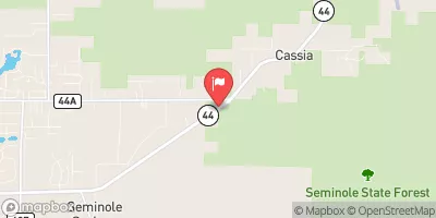
BLACKWATER CREEK NEAR CASSIA, FL
Realtime Data • Report • Conditions
57
Discharge (cfs)
7.2
Gauge Height (ft)
USGS 02235200
Streamflow discharge was last observed at 54 cfs, and a gauge height of 7.19 feet.
With the
% decrease since yesterday,
the streamflow average over the past 10 days is 62 .
Weather today, Tomorrow,
Johns River. The main constituents of the flow are precipitation and groundwater. The creek is not impounded by any dams. Seasonally, the flow is highest in the wet season (June-September) and lowest in the dry season (December-April). Interesting facts about the hydrology of the creek include occasional flooding due to heavy rain and a history of elevated nitrate levels, likely due to agricultural activities in the area.
October 21, 2026
| Elevation | 29.0 ft |
| Last Updated | |
| Gage height, ft | 7.19 ft |
| Stream water level elevation above NAVD 1988, in ft | 24.79 ft |
| Streamflow, ft³/s | 54.0 ft3/s |
| Percent of Normal | 97% |
| Year Over Year Average | 59 cfs |
| 24hr Flow Prediction | cfs |
| Maximum Recorded | 1,170 cfs |
| Geolocation | 28.87, -81.49 |
 Continue with Snoflo Premium