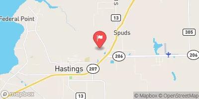
Streamflow discharge was last observed at 69 cfs, and a gauge height of 0.53 feet.
With the
% decrease since yesterday,
the streamflow average over the past 10 days is 44 .
Weather today, Tomorrow,
There are no major tributaries or dams affecting its flow. The hydrology of the stream is characterized by seasonal trends, with higher flows in the wet season (June-November) and lower flows in the dry season (December-May). Interestingly, the stream is known for its sandy bottom and clear water, making it a popular spot for kayaking and fishing.
| Last Updated | |
| Mean water velocity for discharge computation, feet per second | -0.03 ft/sec |
| Gage height, ft | 0.53 ft |
| Stream water level elevation above NAVD 1988, in ft | 2.84 ft |
| Streamflow, ft³/s | 69.0 ft3/s |
| Specific conductance, water, unfiltered, microsiemens per centimeter at 25°C | 1470.0 uS/cm @25C |
| Dissolved oxygen, water, unfiltered, mg/L | 1.1 mg/l |
| Turbidity, water, unfiltered, monochrome near infra-red LED light, 780-900 nm, detection angle 90 ±2.5°, formazin nephelometric units (FNU) | 2.9 FNU |
| Temperature, water, degC | 25.2 deg C |
| Streamflow, tidally filtered, ft³/s | 2.02 ft3/s |
| Percent of Normal | 72% |
| Year Over Year Average | 96 cfs |
| 24hr Flow Prediction | cfs |
| Maximum Recorded | 3,440 cfs |
| Geolocation | 29.73, -81.49 |