

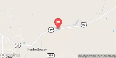
Fenholloway River Near Foley, Fla. Realtime Data
FENHOLLOWAY RIVER NEAR FOLEY, FLA.
Realtime Data • Report • Conditions
84
Discharge (cfs)
5.7
Gauge Height (ft)
Streamflow discharge was last observed at 78 cfs, and a gauge height of 5.69 feet.
With the
% decrease since yesterday,
the streamflow average over the past 10 days is 114 .
Weather today, Tomorrow,
The river is primarily fed by groundwater and rainfall, but also receives some runoff from nearby agricultural fields. There are no major tributaries or dams on the river. The flow of the river varies seasonally, with higher flows during the wet season and lower flows during the dry season. The hydrology of the Fenholloway River is of interest due to the presence of a nearby paper mill that has historically discharged pollutants into the river. While the mill has made efforts to reduce its environmental impact in recent years, the river remains a subject of concern for environmentalists and regulators.
October 23, 2026
| Elevation | 65.0 ft |
| Last Updated | |
| Gage height, ft | 5.69 ft |
| Stream water level elevation above NAVD 1988, in ft | 58.63 ft |
| Streamflow, ft³/s | 78.3 ft3/s |
| Percent of Normal | 851% |
| Year Over Year Average | 10 cfs |
| 24hr Flow Prediction | cfs |
| Maximum Recorded | 1,390 cfs |
 Continue with Snoflo Premium