

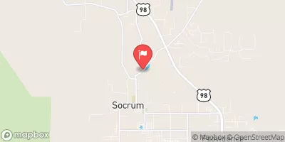
Fox Branch Near Socrum, Fl Realtime Data
FOX BRANCH NEAR SOCRUM, FL
Realtime Data • Report • Conditions
11
Discharge (cfs)
4.5
Gauge Height (ft)
USGS 02301900
Streamflow discharge was last observed at 11 cfs, and a gauge height of 4.45 feet.
With the
% decrease since yesterday,
the streamflow average over the past 10 days is 6 .
Weather today, Tomorrow,
The primary flow provider is rainfall, but there may also be additional sources such as groundwater discharge. There are no significant tributaries or dams in the area. The stream exhibits seasonal trends with higher flows during the wet season and lower flows during the dry season. Interestingly, the hydrology of the area is influenced by the underlying geology, which consists of permeable sand and limestone layers that allow for rapid infiltration and discharge.
October 6, 2026
| Elevation | 116.0 ft |
| Last Updated | |
| Gage height, ft | 4.45 ft |
| Stream water level elevation above NAVD 1988, in ft | 113.67 ft |
| Streamflow, ft³/s | 10.9 ft3/s |
| Percent of Normal | 222% |
| Year Over Year Average | 5 cfs |
| 24hr Flow Prediction | cfs |
| Maximum Recorded | 967 cfs |
| Geolocation | 28.18, -82.01 |
 Continue with Snoflo Premium