

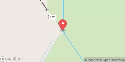
Hillsboro Canal At S-6 Near Shawano Realtime Data
HILLSBORO CANAL AT S-6 NEAR SHAWANO
Realtime Data • Report • Conditions
120
Discharge (cfs)
10.9
Gauge Height (ft)
USGS 02281200
Streamflow discharge was last observed at 120 cfs, and a gauge height of 10.92 feet.
With the
% decrease since yesterday,
the streamflow average over the past 10 days is 508 .
Weather today, Tomorrow,
The flow is regulated by various water control structures, including several dams along the canal. Seasonal trends show a peak in flow during the wet season, from May to October, and a decrease during the dry season. One interesting fact about the hydrology of the canal is that it was originally dug by hand in the early 1900s to facilitate transportation and irrigation in the region. Today, the canal is also used for flood control and water supply.
October 14, 2026
| Elevation | 23.0 ft |
| Last Updated | |
| Mean water velocity for discharge computation, feet per second | 0.08 ft/sec |
| Gage height, ft | 10.92 ft |
| Streamflow, ft³/s | 120.0 ft3/s |
| Stream water level elevation above NAVD 1988, in ft | 9.37 ft |
| Percent of Normal | 108% |
| Year Over Year Average | 111 cfs |
| 24hr Flow Prediction | cfs |
| Maximum Recorded | 3,240 cfs |
| Geolocation | 26.47, -80.45 |
 Continue with Snoflo Premium