

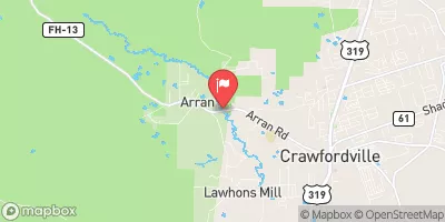
Lost Creek At Arran Fla Realtime Data
LOST CREEK AT ARRAN FLA
Realtime Data • Report • Conditions
3
Discharge (cfs)
1.8
Gauge Height (ft)
Streamflow discharge was last observed at 1 cfs, and a gauge height of 1.81 feet.
With the
% decrease since yesterday,
the streamflow average over the past 10 days is 2 .
Weather today, Tomorrow,
The stream is fed primarily by stormwater runoff and is not directly affected by any dams or major tributaries. Seasonally, flow rates tend to be highest during the rainy season (June-September) and lowest during the dry season (November-April). One interesting fact about the hydrology of Lost Creek is that it is known to experience flash flooding during heavy rainfall events, which can cause dangerous conditions for nearby residents. Overall, the Lost Creek stream gauge provides important data for understanding the hydrology of this small but significant waterway in Florida.
October 16, 2026
| Elevation | 14.0 ft |
| Last Updated | |
| Colored dissolved organic matter (CDOM), water, in situ, single band excitation, fluorescence emission, ppb QSE | 108.5 ug/l QSE |
| Gage height, feet | 1.81 ft |
| Streamflow, ft3/s | 0.74 ft3/s |
| Specific conductance, water, unfiltered, microsiemens per centimeter at 25°C | 48.0 uS/cm @25C |
| Turbidity, water, unfiltered, monochrome near infra-red LED light, 780-900 nm, detection angle 90 ±2.5°, formazin nephelometric units (FNU) | 16.4 FNU |
| Temperature, water, degC | 22.7 deg C |
| Percent of Normal | 12% |
| Year Over Year Average | 21 cfs |
| 24hr Flow Prediction | cfs |
| Maximum Recorded | 2,390 cfs |
| Geolocation | 30.19, -84.41 |
 Continue with Snoflo Premium