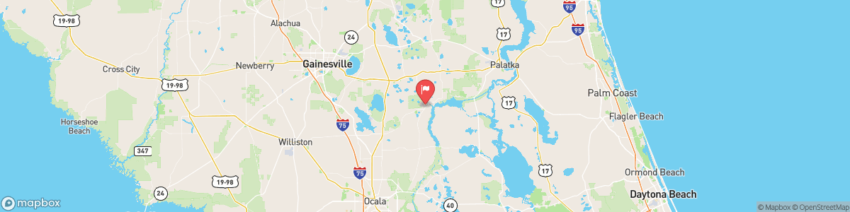
ORANGE CREEK AT ORANGE SPRINGS
USGS 02243000

SPECIAL WEATHER STATEMENT
At 228 PM EDT, Doppler radar was tracking strong thunderstorms along a line extending from near Rochelle to near Orange Springs. Movement was southwest at 10 mph. HAZARD...Wind gusts around 40 mph and minor flooding due to heavy rainfall. SOURCE...Radar indicated. IMPACT...Gusty winds could knock down tree limbs and blow around unsecured objects. Minor flooding due to heavy rainfall is possible. Locations impacted include... Interlachen, Fort McCoy, Citra, Hawthorne, Archer, University Of Florida, Sparr, Rochelle, ...
Today, A chance of showers and thunderstorms, then showers likely and possibly a thunderstorm after 5pm. Mostly cloudy, with a high near 90. Calm wind becoming northeast 5 to 7 mph in the afternoon. Chance of precipitation is 60%. New rainfall amounts of less than a tenth of an inch, except higher amounts possible in thunderstorms.
Tomorrow, A chance of showers and thunderstorms, then showers likely and possibly a thunderstorm after 5pm. Mostly cloudy, with a high near 90. Calm wind becoming northeast 5 to 7 mph in the afternoon. Chance of precipitation is 60%. New rainfall amounts of less than a tenth of an inch, except higher amounts possible in thunderstorms.
5-Day Forecast
Long Term Forecast
16-Day Forecast

Get More With Premium