
2026-11-02T15:00:00-05:00
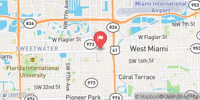
An upper-level low will move atop Florida today through Monday. This feature will add more moisture and support for showers and storms than recent days. Strong low-level easterly flow will result in bands of repeated rainfall for isolated to scattered locations. Showers and storms are expected to be a bit more widespread with higher rain rates than the past few days. * WHAT...Bands of heavy rain may cause urban and street flooding. * WHERE...All of Palm Beach, Broward, and Miami-Dade counties. * WHEN...From 10 AM EST this morning through Monday afternoon. * IMPACTS...Isolated to scattered area of flash flooding will be possible, with the main impact being street flooding, road closures, and limited impact to structures in flood prone areas. * ADDITIONAL DETAILS... - Uncertainty is high regarding exactly where the highest rain amounts will fall. However, scattered locations across the east coast may pick up 3 to 5 inches of rain through Monday. Isolated spots may see accumulations as high as 5 to 7 inches. These amounts may fall over a window of a few hours. Expected impacts could be greater than forecast if the heaviest rainfall occurs near the coast during times of high tide. - http://www.weather.gov/safety/flood
 Continue with Snoflo Premium