

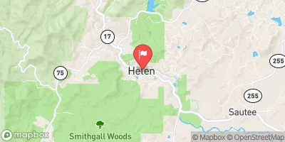
Chattahoochee River At Helen, Ga Realtime Data
CHATTAHOOCHEE RIVER AT HELEN, GA
Realtime Data • Report • Conditions
39
Discharge (cfs)
0.4
Gauge Height (ft)
Streamflow discharge was last observed at 39 cfs, and a gauge height of 0.38 feet.
With the
% decrease since yesterday,
the streamflow average over the past 10 days is 44 .
Weather today, Tomorrow,
The river's flow is primarily provided by rainfall and snowmelt. Several tributaries, including the Soque River and the Chestatee River, also contribute to the flow. The river is regulated by several dams, including Buford Dam and West Point Dam. Seasonal flows are influenced by precipitation patterns, with peak flows typically occurring in the spring and fall. The hydrology of the Chattahoochee River is unique in that it provides drinking water to millions of people in Georgia and Alabama, and also supports a variety of recreational activities, including fishing and kayaking.
October 23, 2026
| Elevation | 1,423.0 ft |
| Last Updated | |
| Gage height, ft | 0.38 ft |
| Barometric pressure, mmHg | 720.0 mm/Hg |
| Streamflow, ft³/s | 39.2 ft3/s |
| Temperature, air, °C | 7.5 deg C |
| Temperature, water, °C | 12.4 deg C |
| Relative humidity, percent | 87.1 % |
| Wind speed, mph | 0.9 mph |
| Wind direction, degrees clockwise from north | 57.0 Deg |
| Precipitation, total, in | 0.0 in |
| Percent of Normal | 58% |
| Year Over Year Average | 68 cfs |
| 24hr Flow Prediction | cfs |
| Maximum Recorded | 4,630 cfs |
 Continue with Snoflo Premium