

Chestatee River Near Dahlonega, Ga Realtime Data
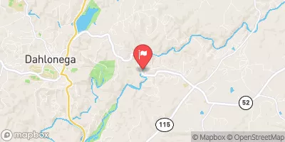
CHESTATEE RIVER NEAR DAHLONEGA, GA
Realtime Data • Report • Conditions
86
Discharge (cfs)
0.8
Gauge Height (ft)
USGS 02333500
Streamflow discharge was last observed at 86 cfs, and a gauge height of 0.79 feet.
With the
% decrease since yesterday,
the streamflow average over the past 10 days is 109 .
Weather today, Tomorrow,
Its main constituents are dissolved ions such as calcium, magnesium, and sodium. There are no significant tributaries or dams on this stretch of the river. In the summer months, the flow decreases due to decreased rainfall and increased evaporation. In the winter months, the flow increases due to increased rainfall and snowmelt. Interestingly, the Chestatee River was once a major gold-mining area during the Georgia Gold Rush of the 1830s. Today, it is a popular spot for recreational activities such as fishing, kayaking, and tubing.
October 15, 2026
| Elevation | 1,183.0 ft |
| Last Updated | |
| Gage height, ft | 0.79 ft |
| Streamflow, ft³/s | 86.0 ft3/s |
| Temperature, water, degC | 18.1 deg C |
| Percent of Normal | 54% |
| Year Over Year Average | 160 cfs |
| 24hr Flow Prediction | cfs |
| Maximum Recorded | 11,300 cfs |
 Continue with Snoflo Premium