

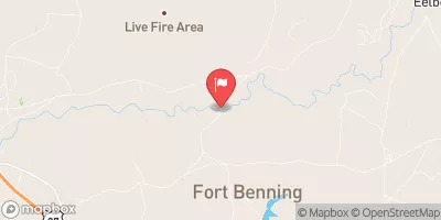
Upatoi Creek Near Columbus, Ga Realtime Data
UPATOI CREEK NEAR COLUMBUS, GA
Realtime Data • Report • Conditions
201
Discharge (cfs)
4.2
Gauge Height (ft)
USGS 02341800
Streamflow discharge was last observed at 201 cfs, and a gauge height of 4.20 feet.
With the
% decrease since yesterday,
the streamflow average over the past 10 days is 265 .
Weather today, Tomorrow,
The creek is fed by several smaller tributaries and is affected by seasonal trends, with higher flows during the spring and lower flows in the summer and fall. There are no major dams on the creek, but it does run through the historic Bibb City neighborhood and Fort Benning military base. Interesting points about the hydrology of the creek include its designation as a State Scenic River and the fact that it was used as a transportation route by Native Americans and early settlers in the area.
October 14, 2026
| Elevation | 256.0 ft |
| Last Updated | |
| Gage height, ft | 4.2 ft |
| Streamflow, ft³/s | 201.0 ft3/s |
| Precipitation, total, in | 0.0 in |
| Percent of Normal | 130% |
| Year Over Year Average | 154 cfs |
| 24hr Flow Prediction | cfs |
| Maximum Recorded | 18,500 cfs |
| Geolocation | 32.41, -84.82 |
 Continue with Snoflo Premium