Signup for free to access forecast


Continue with a free account

Already Have an Account?


Snoflo Premium

Get unlimited access to all our content

Plus your first week free!

Have a Promo Code?


Already Have an Account?

Signup for a Basic Account


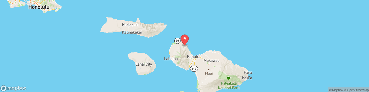
KAHAKULOA STREAM NEAR HONOKOHAU

Weather Forecast


KAHAKULOA STREAM NEAR HONOKOHAU

USGS 16618000


COASTAL FLOOD STATEMENT
...MINOR COASTAL FLOODING DURING HIGH TIDE THROUGH WEDNESDAY... .Peak monthly high tides combined with water levels that are running higher than predicted will lead to minor flooding in low lying coastal areas. Coastal flooding is possible through Wednesday around the daily peak afternoon high tide. * WHAT...Isolated minor coastal flooding. * WHERE...Vulnerable low-lying coastal roadways, docks, boat ramps and other coastal infrastructure of all Hawaiian Islands. * WHEN...Through Wednesday afternoon. * IMPACTS...Flooding of beaches that ...

Today, Scattered showers. Mostly cloudy, with a low around 75. East wind 11 to 14 mph, with gusts as high as 18 mph. Chance of precipitation is 40%. New precipitation amounts between a tenth and quarter of an inch possible.


Tomorrow, Scattered showers. Mostly cloudy, with a low around 75. East wind 11 to 14 mph, with gusts as high as 18 mph. Chance of precipitation is 40%. New precipitation amounts between a tenth and quarter of an inch possible.


5-Day Forecast


Leave A Review


Submit

Upload an Image


Favorite Limit Reached
OR

Return to the Kahakuloa Stream Near Honokohau Flow Report