

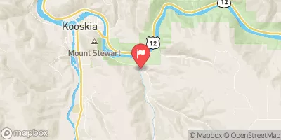
Clear Ck At Kooskia National Fish Hatchery Realtime Data
CLEAR CK AT KOOSKIA NATIONAL FISH HATCHERY
Realtime Data • Report • Conditions
18
Discharge (cfs)
11.9
Gauge Height (ft)
Streamflow discharge was last observed at 18 cfs, and a gauge height of 11.90 feet.
With the
% decrease since yesterday,
the streamflow average over the past 10 days is 24 .
Weather today, Tomorrow,
The primary flow contributors are snowmelt and precipitation, with potential related tributaries including the Middle Fork and South Fork of the Clearwater River. Seasonally, the gauge shows peak flows in late May to early June from snowmelt, with lower flows during the summer and fall. The hydrology of the area is unique due to the Nez Perce tribe's traditional use of controlled burns to manage vegetation, which affects the watershed's water retention and flow. The gauge also monitors water temperature and specific conductance, providing valuable data on aquatic health.
October 9, 2026
| Elevation | 1,275.0 ft |
| Last Updated | |
| Gage height, feet | 11.9 ft |
| Streamflow, ft3/s | 18.4 ft3/s |
| Temperature, water, degC | 25.4 deg C |
| Percent of Normal | 66% |
| Year Over Year Average | 28 cfs |
| 24hr Flow Prediction | cfs |
| Maximum Recorded | 2,490 cfs |
| Geolocation | 46.13, -115.95 |
 Continue with Snoflo Premium