

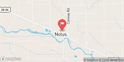
Conway Gulch Below 1st St At Notus Realtime Data
CONWAY GULCH BELOW 1ST ST AT NOTUS
Realtime Data • Report • Conditions
24
Discharge (cfs)
5.9
Gauge Height (ft)
USGS 13212549
Streamflow discharge was last observed at 24 cfs, and a gauge height of 5.92 feet.
With the
% decrease since yesterday,
the streamflow average over the past 10 days is 34 .
Weather today, Tomorrow,
The primary source of the water is from snowmelt and precipitation in the surrounding mountains. There are no major dams upstream from the gauge. Seasonal trends show peak flows in the spring and low flows in the fall. Interesting facts about the hydrology of the area include the presence of hot springs, which may contribute to the flow, and the potential for flash floods during heavy rain events. Overall, the Conway Gulch streamgauge provides important data for understanding water resources in the region.
October 11, 2026
| Elevation | 2,316.0 ft |
| Last Updated | |
| Gage height, ft | 5.92 ft |
| Streamflow, ft³/s | 24.0 ft3/s |
| Percent of Normal | 87% |
| Year Over Year Average | 28 cfs |
| 24hr Flow Prediction | cfs |
| Maximum Recorded | 63 cfs |
| Geolocation | 43.73, -116.80 |
 Continue with Snoflo Premium