

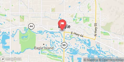
Eagle Drain At Eagle Realtime Data
EAGLE DRAIN AT EAGLE
Realtime Data • Report • Conditions
19
Discharge (cfs)
11.0
Gauge Height (ft)
USGS 13206400
Streamflow discharge was last observed at 19 cfs, and a gauge height of 10.96 feet.
With the
% decrease since yesterday,
the streamflow average over the past 10 days is 28 .
Weather today, Tomorrow,
The flow is primarily controlled by irrigation schedules and is relatively consistent throughout the year, with occasional spikes during heavy rain events. The canal is not fed by any specific tributaries or dams but rather by the Boise River directly. Interesting facts include the canal's historical significance in the development of the region's agriculture and the ongoing efforts to improve its efficiency and reduce water waste.
October 10, 2026
| Elevation | 2,548.0 ft |
| Last Updated | |
| Gage height, ft | 10.96 ft |
| Streamflow, ft³/s | 18.8 ft3/s |
| Specific conductance, water, unfiltered, microsiemens per centimeter at 25°C | 324.0 uS/cm @25C |
| Dissolved oxygen, water, unfiltered, mg/L | 7.6 mg/l |
| Turbidity, water, unfiltered, monochrome near infra-red LED light, 780-900 nm, detection angle 90 ±2.5°, formazin nephelometric units (FNU) | 5.6 FNU |
| Temperature, water, degC | 12.3 deg C |
| Percent of Normal | 64% |
| Year Over Year Average | 30 cfs |
| 24hr Flow Prediction | cfs |
| Maximum Recorded | 72 cfs |
| Geolocation | 43.69, -116.36 |
 Continue with Snoflo Premium