

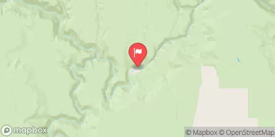
Ef Owyhee River At Crutcher Crossing Realtime Data
EF OWYHEE RIVER AT CRUTCHER CROSSING
Realtime Data • Report • Conditions
19
Discharge (cfs)
8.1
Gauge Height (ft)
USGS 13176400
Streamflow discharge was last observed at 19 cfs, and a gauge height of 8.12 feet.
With the
% decrease since yesterday,
the streamflow average over the past 10 days is 19 .
Weather today, Tomorrow,
The river flow experiences seasonal variations, with peak flow occurring in spring due to snowmelt and decreasing in summer and fall. There are no major dams along its course. Interestingly, the Owyhee River system is one of the few rivers in the western US that retains its natural flow pattern, with no major diversions for water storage or irrigation. The EF Owyhee River at Crutcher Crossing streamgauge provides important data for water management and conservation efforts in the region.
October 22, 2026
| Elevation | 4,265.0 ft |
| Last Updated | |
| Gage height, ft | 8.12 ft |
| Temperature, water, °C | 9.9 deg C |
| Streamflow, ft³/s | 19.2 ft3/s |
| Percent of Normal | 76% |
| Year Over Year Average | 25 cfs |
| 24hr Flow Prediction | cfs |
| Maximum Recorded | 9,380 cfs |
| Geolocation | 42.26, -116.87 |
 Continue with Snoflo Premium