

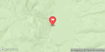
Napias Creek Below Arnett Creek Near Leesburg, Id Realtime Data
NAPIAS CREEK BELOW ARNETT CREEK NEAR LEESBURG, ID
Realtime Data • Report • Conditions
9
Discharge (cfs)
5.4
Gauge Height (ft)
USGS 13306385
Streamflow discharge was last observed at 9 cfs, and a gauge height of 5.37 feet.
With the
% decrease since yesterday,
the streamflow average over the past 10 days is 12 .
Weather today, Tomorrow,
The flow is primarily fed by snowmelt and precipitation from the surrounding mountains. There are no major tributaries or dams affecting the flow of water. The flow tends to be highest in the late spring and early summer due to snowmelt and lower in the fall and winter months. The hydrology of Napias Creek is important for the local ecosystem, providing habitat for fish and wildlife. One interesting fact is that Napias Creek is located in the Salmon River Mountains, which are known for their rugged terrain and scenic beauty.
October 10, 2026
| Elevation | 6,324.0 ft |
| Last Updated | |
| Gage height, ft | 5.37 ft |
| Streamflow, ft³/s | 9.15 ft3/s |
| Percent of Normal | 86% |
| Year Over Year Average | 11 cfs |
| 24hr Flow Prediction | cfs |
| Maximum Recorded | 610 cfs |
| Geolocation | 45.20, -114.13 |
 Continue with Snoflo Premium