

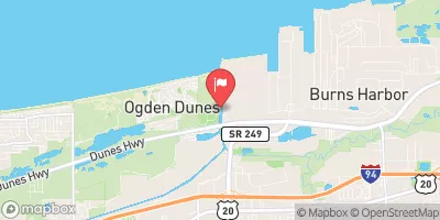
Burns Ditch At Portage, In Realtime Data
BURNS DITCH AT PORTAGE, IN
Realtime Data • Report • Conditions
444
Discharge (cfs)
5.4
Gauge Height (ft)
Streamflow discharge was last observed at 444 cfs, and a gauge height of 5.41 feet.
With the
% decrease since yesterday,
the streamflow average over the past 10 days is 485 .
Weather today, Tomorrow,
The primary constituents of the stream are urban runoff, treated wastewater, and agricultural runoff. There are no significant tributaries or dams on the stream. Seasonal trends show higher flow rates in the spring due to snowmelt and increased precipitation, and lower flow rates in the summer and fall. Interestingly, the Burns Ditch was used as a location for illegal dumping of hazardous waste in the 1970s, leading to contamination of the stream and surrounding area. The cleanup efforts have been ongoing and have significantly improved the water quality.
October 16, 2026
| Elevation | 606.0 ft |
| Last Updated | |
| Mean water velocity for discharge computation, feet per second | 0.43 ft/sec |
| Gage height, ft | 5.41 ft |
| Streamflow, ft³/s | 444.0 ft3/s |
| Specific conductance, water, unfiltered, microsiemens per centimeter at 25°C | 674.0 uS/cm @25C |
| Dissolved oxygen, water, unfiltered, mg/L | 7.8 mg/l |
| Turbidity, water, unfiltered, monochrome near infra-red LED light, 780-900 nm, detection angle 90 ±2.5°, formazin nephelometric units (FNU) | 7.8 FNU |
| pH, water, unfiltered, field, standard units | 7.6 std units |
| Temperature, water, degC | 16.8 deg C |
| Percent of Normal | 60% |
| Year Over Year Average | 741 cfs |
| 24hr Flow Prediction | cfs |
| Maximum Recorded | 8,300 cfs |
| Geolocation | 41.62, -87.18 |
 Continue with Snoflo Premium