

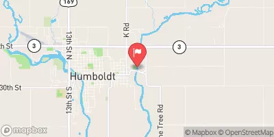
East Fork Des Moines River At Dakota City, Ia Realtime Data
EAST FORK DES MOINES RIVER AT DAKOTA CITY, IA
Realtime Data • Report • Conditions
812
Discharge (cfs)
8.6
Gauge Height (ft)
USGS 05479000
Streamflow discharge was last observed at 404 cfs, and a gauge height of 8.64 feet.
With the
% decrease since yesterday,
the streamflow average over the past 10 days is 653 .
Weather today, Tomorrow,
The constituents of the flow include precipitation, runoff, and groundwater. There are no specific related tributaries or dams affecting the gauge. Seasonal trends show higher flows in the spring due to snowmelt and rainfall, and lower flows in the summer and fall. Interestingly, the gauge site is located downstream of the confluence of the East and West Fork Des Moines Rivers, and upstream of the Des Moines River. Overall, the data from this gauge is important for monitoring water levels and predicting floods in the area.
October 23, 2026
| Elevation | 1,043.0 ft |
| Last Updated | |
| Gage height, ft | 8.64 ft |
| Streamflow, ft³/s | 404.0 ft3/s |
| Percent of Normal | 448% |
| Year Over Year Average | 181 cfs |
| 24hr Flow Prediction | cfs |
| Maximum Recorded | 11,500 cfs |
| Geolocation | 42.72, -94.19 |
 Continue with Snoflo Premium