

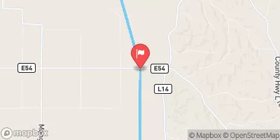
Little Sioux River Near Turin, Ia Realtime Data
LITTLE SIOUX RIVER NEAR TURIN, IA
Realtime Data • Report • Conditions
1,210
Discharge (cfs)
8.3
Gauge Height (ft)
Streamflow discharge was last observed at 1,210 cfs, and a gauge height of 8.31 feet.
With the
% decrease since yesterday,
the streamflow average over the past 10 days is 1,074 .
Weather today, Tomorrow,
The river is a significant source of water for the region and is heavily used for agricultural purposes. The Little Sioux River is fed by several tributaries, including the West Fork, and is regulated by several dams, including the Spencer Dam. The river's flow is highly seasonal, with peak flows occurring during the spring and summer months, and low flows during the winter. The hydrology of the Little Sioux River is also influenced by a variety of quirky and interesting factors, including fluctuating water levels due to precipitation and snowmelt, as well as the impact of human activities such as agricultural irrigation and hydropower generation. Overall, the Little Sioux River is an important resource for the region, and its hydrology is complex and dynamic, reflecting the interplay of natural and human factors.
October 22, 2026
| Elevation | 1,029.0 ft |
| Last Updated | |
| Gage height, ft | 8.31 ft |
| Streamflow, ft³/s | 1210.0 ft3/s |
| Percent of Normal | 146% |
| Year Over Year Average | 825 cfs |
| 24hr Flow Prediction | cfs |
| Maximum Recorded | 41,800 cfs |
 Continue with Snoflo Premium