

Flood Warning
2026-09-21T22:42:00-05:00
2026-09-21T22:42:00-05:00
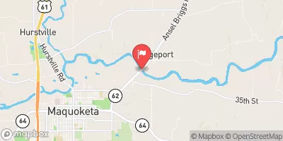
...The Flood Warning is extended for the following rivers in Iowa... Maquoketa River near Maquoketa affecting Jackson County. * WHAT...Minor flooding is occurring and minor flooding is forecast. * WHERE...Maquoketa River near Maquoketa. * WHEN...Until this evening. * IMPACTS...At 24.0 feet, Water affects agricultural land in the Maquoketa area and causes backups of storm sewers in town. * ADDITIONAL DETAILS... - At 9:15 AM CDT Monday the stage was 24.8 feet. - Recent Activity...The maximum river stage in the 24 hours ending at 9:15 AM CDT Monday was 25.6 feet. - Forecast...The river is expected to fall below flood stage this afternoon and continue falling to 13.2 feet Monday, September 28. - Flood stage is 24.0 feet.
 Continue with Snoflo Premium