

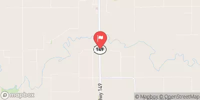
North Skunk River Near Sigourney, Ia Realtime Data
NORTH SKUNK RIVER NEAR SIGOURNEY, IA
Realtime Data • Report • Conditions
1,710
Discharge (cfs)
10.1
Gauge Height (ft)
USGS 05472500
Streamflow discharge was last observed at 1,710 cfs, and a gauge height of 10.12 feet.
With the
% decrease since yesterday,
the streamflow average over the past 10 days is 3,880 .
Weather today, Tomorrow,
There are several small tributaries that flow into the river, including the South Skunk River and the English River. There are no major dams on the North Skunk River, but some small impoundments are used for irrigation and recreation. Seasonal trends show that the river typically experiences higher flows in the spring and summer due to increased precipitation and snowmelt. Interestingly, the North Skunk River is named after the odor emitted by skunks, which was once common in the area due to the large population of the animal.
October 7, 2026
| Elevation | 664.0 ft |
| Last Updated | |
| Gage height, ft | 10.12 ft |
| Streamflow, ft³/s | 1710.0 ft3/s |
| Percent of Normal | 4,844% |
| Year Over Year Average | 35 cfs |
| 24hr Flow Prediction | cfs |
| Maximum Recorded | 19,900 cfs |
 Continue with Snoflo Premium