

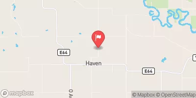
Richland Creek Near Haven, Ia Realtime Data
RICHLAND CREEK NEAR HAVEN, IA
Realtime Data • Report • Conditions
71
Discharge (cfs)
11.4
Gauge Height (ft)
Streamflow discharge was last observed at 71 cfs, and a gauge height of 11.41 feet.
With the
% decrease since yesterday,
the streamflow average over the past 10 days is 86 .
Weather today, Tomorrow,
The main contributors to the flow of the creek are precipitation and runoff from surrounding agricultural lands. There are no significant dams on the creek, but there are several small tributaries that contribute to the overall flow. Seasonal trends show higher flows in the spring due to snowmelt and rainfall and lower flows in the summer and fall. Interestingly, the creek has been known to experience flash flooding during heavy rainfall events. The Richland Creek watershed covers approximately 126 square miles and is primarily used for agriculture.
October 22, 2026
| Elevation | 817.0 ft |
| Last Updated | |
| Gage height, ft | 11.41 ft |
| Streamflow, ft³/s | 71.2 ft3/s |
| Percent of Normal | 368% |
| Year Over Year Average | 19 cfs |
| 24hr Flow Prediction | cfs |
| Maximum Recorded | 3,450 cfs |
| Geolocation | 41.90, -92.47 |
 Continue with Snoflo Premium